
Modernizing How You Access Water Data | Webinar on Oct 13 | Recording Available
USGS has provided crucial water data online for decades, but the system is outdated, so we're rebuilding a brand new, modernized system. We're hosting a webinar to talk about the first release of this new system. Join us for our Teams Live Event on October 13, 2021 at 1 pm EDT/ 10 am PDT.
Missed the webinar? Watch the recording
The recording of this webinar can be viewed on the USGS website or on the USGS YouTube channel.
Let us know your thoughts!
Didn’t get a chance to give us your feedback during the live event? Just now watching the recording? We’d love to hear your thoughts - it’ll only take a minute. Please, fill out our feedback form.
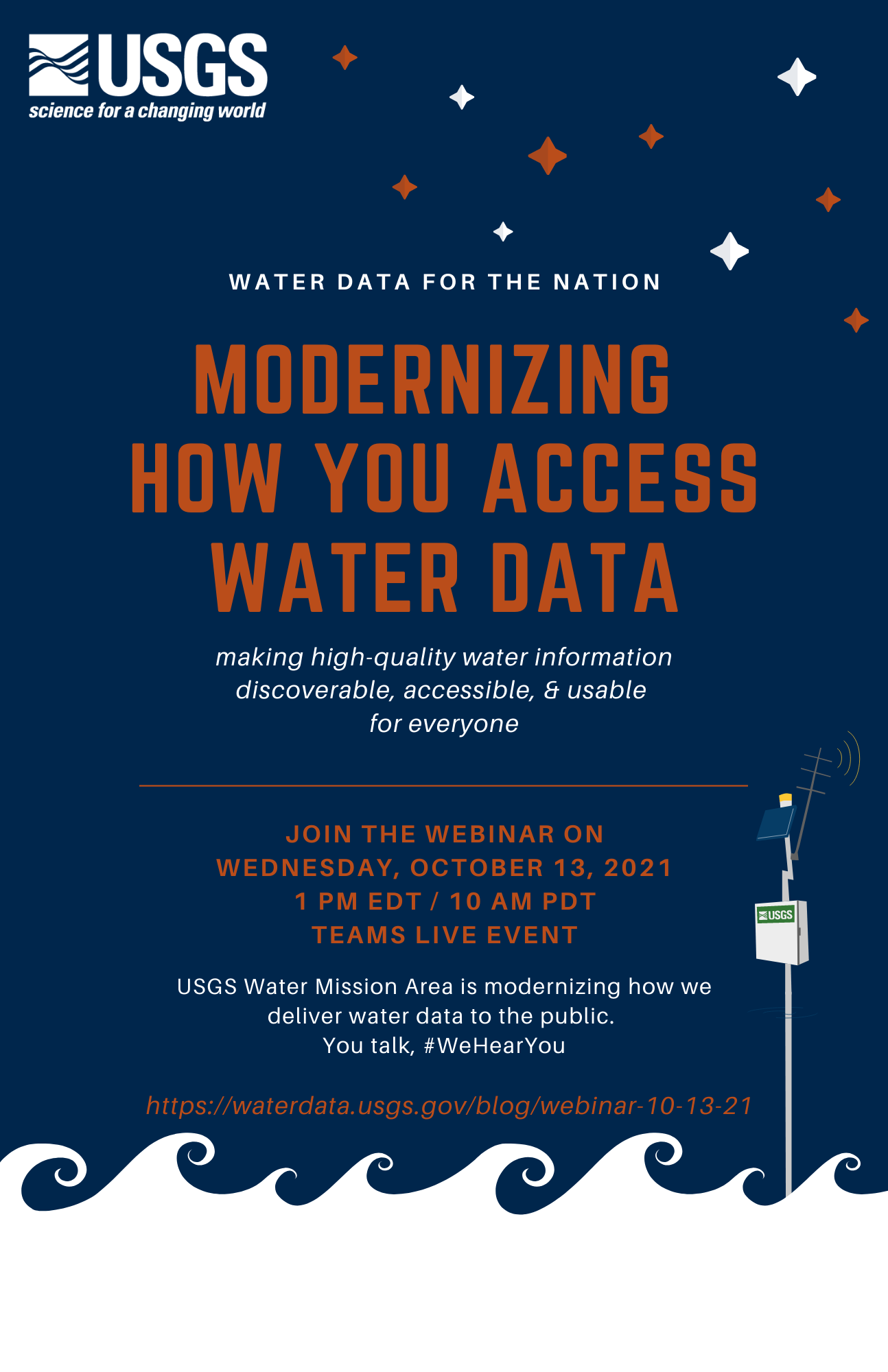
USGS presents Water Data for the Nation - Modernizing How You Access Water Data
On October 13th at 1 pm EDT/ 10 am PDT, join our Teams Live Event to learn about how we’re modernizing the way we display water data online.
Access to water data is crucial for decision-making, and you can do amazing things with @USGS_Water data. But, our previous system didn’t make data access easy, so we’re rebuilding our data delivery system. At USGS, we know it’s crucial for water data to be accessible, usable, and discoverable for all US citizens. We’d like to tell you all about how we’re prioritizing better data delivery so you have the information you need to make important decisions. To hear more of the story, watch our brief introduction video, available on our website or on YouTube.
To hear more of the story, watch our brief introduction video, available on our website or on YouTube.
Add this event to your calendar
Visit our event page on Eventbrite to add this webinar to your calendar. Note: You do not have to register for the event through Eventbrite; you can just click “add to calendar.”
Link to the Live Webinar
Join the Teams Live Event at 1 pm EDT on October 13th by clicking this link or pasting it into your browser (https://teams.microsoft.com/l/meetup-join/19%3ameeting_OGU4YzcyYmUtMzcyMS00YTVhLWFmOTQtODIyZjE3ZTM3Y2Mz%40thread.v2/0?context=%7b%22Tid%22%3a%220693b5ba-4b18-4d7b-9341-f32f400a5494%22%2c%22Oid%22%3a%2274c01c76-7d2c-4555-94ec-9e22ecb44037%22%2c%22IsBroadcastMeeting%22%3atrue%7d&btype=a&role=a). You do not have to download Teams to watch this webinar.
Join the conversation – attend our public webinar on October 13th, 2021 @ 1pm EDT/ 10am PDT.
#WeHearYou - You can email us at any time: WDFN@usgs.gov. We will have time in the second half of the webinar to answer questions live.
Share your thoughts with us by filling out this feedback form!
Categories:
Related Posts
FAQ for Next Generation Monitoring Location Pages
September 24, 2021
Last updated May 3rd, 2022 For ease of use, we recommend you CTRL+F (for Windows) or Command+F (for Mac) to search this page for the section that relates to your question.
How to Use Next Generation Monitoring Location Pages
September 8, 2021
Last updated April 7th, 2022 Welcome to our how-to guide for WDFN's Next Generation Monitoring Location Pages Looking for guidance on how to use the NextGen pages?
Next Generation Monitoring Location Pages Go Live Soon!
August 17, 2021
Last updated October 21, 2021 To learn more about these changes, watch the recording of our October 2021 public webinar. What are Monitoring Location Pages? Monitoring location pages are web pages that the USGS Water Mission Area offers to display important water data like discharge (also referred to as streamflow), gage height, precipitation, water-levels, temperature, etc.
The WDFN tech stack
April 14, 2022
The goal of this post is to give a technical reader an idea of what technologies the Water Data for the Nation (WDFN) team uses, because it is both varied and ever changing.
Technology Cluster Hire: Usability Specialist and DevOps Positions
April 11, 2022
USGS Water Mission Area 2022 Cluster Hires (updated 4/19/2022) The U.S. Geological Survey Water Mission Area is hiring multiple Term Information Technology (IT) Specialist positions in Usability Research and Development-Operations (DevOps) for enterprise data delivery systems.