USGS 09041090 MUDDY CREEK ABOVE ANTELOPE CREEK NR. KREMMLING, CO

PROVISIONAL DATA SUBJECT TO REVISION

Click to hidestation-specific text
USGS station 09041090
The Unit Value precipitation data for this station are temporary and will only be displayed for 120 days. (more information)

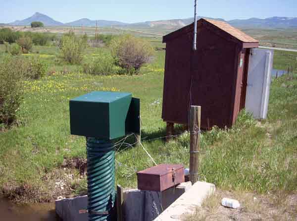
This site is operated seasonally, discharge April through October and water quality April through September only.

Station operated by the U.S. Geological Survey in cooperation with Colorado River Water Conservation District.

Current shift adjusted rating table.
What is a shift adjusted stage-discharge rating table?

Boating safety tips

This station managed by the Lakewood Field Office.

Available Parameters Available Period
  
2007-10-01  2024-04-23
2023-04-01  2024-04-23
1990-05-16  2024-04-23
2021-04-01  2024-04-23
2007-10-01  2024-04-23


 (7)
 

  -- or --


Summary of all available data for this site
Instantaneous-data availability statement


Discharge, cubic feet per second

Most recent instantaneous value: 227 04-23-2024   14:30 MDT
Graph of  Discharge, cubic feet per second

Add up to 2 more sites and replot for "Discharge, cubic feet per second"

?


Create presentation-quality / stand-alone graph.   Subscribe to WaterAlert      

See this graph on the Monitoring Location Pages


Daily discharge, cubic feet per second -- statistics for Apr 23 based on 34 water years of record more
Min
(1995)
25th
percen-
tile
Median Mean 75th
percen-
tile
Most Recent
Instantaneous
Value Apr 23
Max
(2014)
35.0 82 142 150 177 227 527