USGS 09114520 GUNNISON RIVER AT GUNNISON WHITEWATER PARK, CO

PROVISIONAL DATA SUBJECT TO REVISION

Click to hidestation-specific text
Click for larger image

This site is operated seasonally, May 1st through September 30th only.

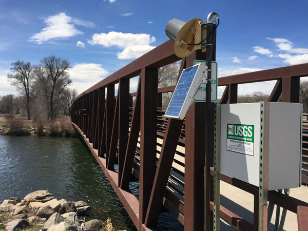
Station operated by the U.S. Geological Survey in cooperation with Upper Gunnison River Water Conservancy District .

Continuous water temperature data discontinued at this location on July 27, 2021. Water temperature, specific conductance, pH, dissolved oxygen, and turbidity data are now available at USGS site 09114500 Gunnison River near Gunnison, CO . Sensors operated seasonally, May 1 to Oct 31.

Current shift adjusted rating table.
What is a shift adjusted stage-discharge rating table?

This station managed by the Grand Junction Field Office.

Available Parameters Available Period
  
2017-04-30  2021-07-27
2017-05-01  2024-05-06
2020-10-01  2024-05-06
2024-05-01  2024-05-06


 (7)
 

  -- or --


Summary of all available data for this site
Instantaneous-data availability statement


Discharge, cubic feet per second

Most recent instantaneous value: 899 05-06-2024   01:45 MDT
Graph of  Discharge, cubic feet per second

Add up to 2 more sites and replot for "Discharge, cubic feet per second"

?


Create presentation-quality / stand-alone graph.   Subscribe to WaterAlert      

See this graph on the Monitoring Location Pages


Daily discharge, cubic feet per second -- statistics for May 6 based on 7 water years of record more
Min
(2021)
25th
percen-
tile
Most Recent
Instantaneous
Value May 6
Median Mean 75th
percen-
tile
Max
(2023)
322 446 899 974 1080 1520 2040


Gage height, feet

Most recent instantaneous value: 4.25 05-06-2024   01:45 MDT
Graph of  Gage height, feet

Add up to 2 more sites and replot for "Gage height, feet"

?


Create presentation-quality / stand-alone graph.   Subscribe to WaterAlert      

See this graph on the Monitoring Location Pages