USGS 09128000 GUNNISON RIVER BELOW GUNNISON TUNNEL, CO

PROVISIONAL DATA SUBJECT TO REVISION

Click to hidestation-specific text
Click for larger image

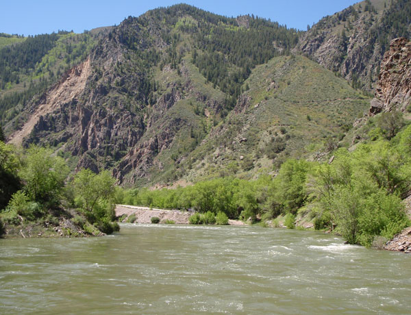
Station operated by the U.S. Geological Survey, Colorado Water Science Center, as part of the USGS National Streamflow Information Program (NSIP).

Information on water releases from Crystal Reservoir (projected releases into the Gunnison River through the Black Canyon) is available from the Bureau of Reclamation.

Current shift adjusted rating table.
What is a shift adjusted stage-discharge rating table?

Boating safety tips

This station managed by the Grand Junction Field Office.

Available Parameters Available Period
  
1987-08-19  2024-03-19
2020-10-15  2024-03-19


 (7)
 

  -- or --


Summary of all available data for this site
Instantaneous-data availability statement


Discharge, cubic feet per second

Most recent instantaneous value: 571 03-19-2024   03:00 MDT
Graph of

Add up to 2 more sites and replot for "Discharge, cubic feet per second"

?


Create presentation-quality / stand-alone graph.   Subscribe to WaterAlert      

See this graph on the Monitoring Location Pages


Daily discharge, cubic feet per second -- statistics for Mar 19 based on 113 water years of record more
Min
(1966)
25th
percen-
tile
Most Recent
Instantaneous
Value Mar 19
Median Mean 75th
percen-
tile
Max
(1997)
210 469 571 600 826 855 3850


Gage height, feet

Most recent instantaneous value: 2.73 03-19-2024   03:00 MDT
Graph of

Add up to 2 more sites and replot for "Gage height, feet"

?


Create presentation-quality / stand-alone graph.   Subscribe to WaterAlert      

See this graph on the Monitoring Location Pages