PROVISIONAL DATA SUBJECT TO REVISION
Click to hidestation-specific text
|
This gage is monitored in cooperation with the Suwannee River Water Management District.
|
- NWS Flood Forecast for location
- NWS Southeast River Forecast Center
|
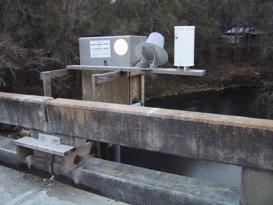
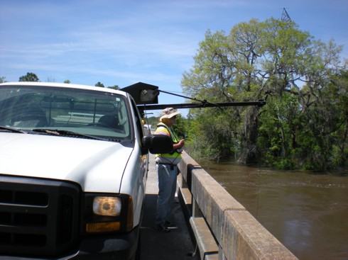
January 3, 2002. Hydrographer measuring flow-April 9, 2009.
|
Instantaneous-data availability statement
![Graph of Discharge, cubic feet per second, [(2)]](https://natwebsdww02.cr.usgs.gov/nwisweb/data/img/USGS.02319394.169544.00060..20260604.20260611.log.0.p50.gif)
