PROVISIONAL DATA SUBJECT TO REVISION
Click to hidestation-specific text
 Site Information
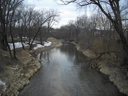
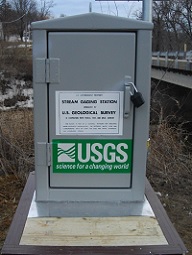
Funding For This Site Provided By:
NOTE: Funding for this site runs out on 9/30/2017. If a new funding source is not found, this site will be permanently discontinued on that date. Please contact jfnania@usgs.gov or 319-358-3655 for questions.
![]()
![]()
![]()
Summary of all available data for this site
Instantaneous-data availability statement