PROVISIONAL DATA SUBJECT TO REVISION
Click to hidestation-specific text
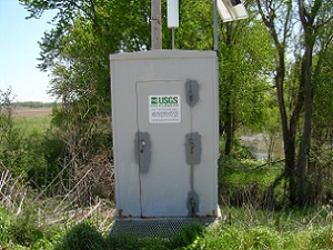
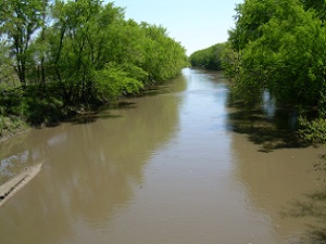
 Site Information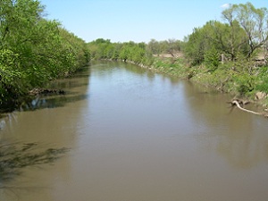
 Advanced
Hydrologic Prediction Service
Advanced
Hydrologic Prediction Service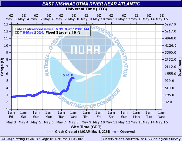




Summary of all available data for this site
Instantaneous-data availability statement

| Min (1972) | 25th percen- tile | Median | 75th percen- tile | Mean | Most Recent Instantaneous Value Oct 14 | Max (2015) |
|---|---|---|---|---|---|---|
| 18.0 | 40 | 75 | 175 | 198 | 442 | 1580 |

 U.S. Department of the Interior |
U.S. Geological Survey
U.S. Department of the Interior |
U.S. Geological Survey
Title: USGS Current Conditions for Iowa
URL:
Page Contact Information: Iowa Water Data Support Team
Page Last Modified: 2026-10-14 10:41:33 EDT
1.27 0.96 caww01