LOCATION.--Lat 40°36'06", long 95°38'42"
referenced to North American Datum of 1983, in NE 1/4 SW 1/4 SE 1/4
sec.11, T.67 N., R.42 W., Fremont County, IA, Hydrologic Unit
10240004, on left bank on downstream side of bridge on U.S. Highway
275 and State Highway 333 in Hamburg, 4.7 mi downstream from
confluence of East Nishnabotna River and West Nishnabotna River, and
11.0 mi upstream from mouth. (map)
DRAINAGE AREA.--2,806 mi2.
SURFACE-WATER RECORDS
PERIOD OF RECORD.--Discharge records from March 1922 to September
1923, October 1928 to current year. March 1922 to September 1923,
monthly mean discharge for some periods published in WSP 1310.
REVISED RECORDS.--WSP 1240: 1923, 1929-37, 1938-40 (M), 1943 (M).
WSP 1440: Drainage area. WDR IA-74-1: 1973. WDR-US-2008:
Location.
GAGE.--Water-stage recorder. Datum of gage is 894.17 ft above
National Geodetic Vertical Datum of 1929. Prior to October 1, 1923,
non-recording gage at site 3.5 mi downstream at different datum;
October 5, 1928, to September 6, 1929, non-recording gage at site 2.7
mi upstream at datum 0.42 ft higher; September 7, 1929, to June 5,
1947, non-recording gage at site 2.5 mi upstream at same datum; June
6 to July 22, 1947, non-recording gage at site 2.7 mi upstream at
different datum; July 23, 1947, to November 16, 1950, non-recording
gage, and November 17, 1950, to October 2, 2007, water-stage
recorder, both at site 2.5 mi upstream at same datum.
WATER-QUALITY RECORDS
PERIOD OF RECORD.--Water years 1979-1993, 2004 to current
year.
PERIOD OF DAILY RECORD.--
SPECIFIC CONDUCTANCE: Daily instantaneous, October 1979 to September
1981.
WATER TEMPERATURE: Daily instantaneous, October 1979 to September
1981.
SUSPENDED-SEDIMENT DISCHARGE: April 1939 to September 1951, records
provided by U.S. Army Corps of Engineers.
 Site Information
 Advanced
Hydrologic Prediction Service
Advanced
Hydrologic Prediction Service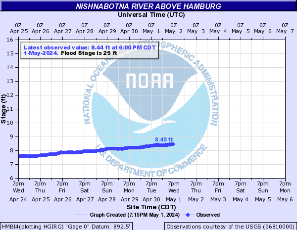







 U.S. Department of the Interior |
U.S. Geological Survey
U.S. Department of the Interior |
U.S. Geological Survey