USGS 13341050 CLEARWATER RIVER NR PECK ID

PROVISIONAL DATA SUBJECT TO REVISION

Click to hidestation-specific text
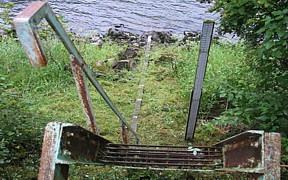
Clearwater River near Peck, ID - USGS file photo

funding
Due to a lack of funding, total dissolved gas data collection at this station will be discontinued October 1, 2022. If you have any questions or to inquire about potentially funding this site, please use the "Questions" link at the bottom of this page. *Water temperature data collection will continue.

> Rating Information


Station is operated in cooperation with the U.S. Army Corps of Engineers .


Dissolved Gas
The Dissolved Gas Abatement portion of this station is operated seasonally from April 1 to September 30.
This station managed by the Post Falls Field Office.

Available Parameters Available Period
  
2008-02-01  2024-11-21
2009-10-01  2022-09-06
2009-10-01  2022-09-06
2009-04-01  2022-09-06
1986-12-13  2024-11-21
2007-10-01  2024-11-21


 (7)
 

  -- or --


Summary of all available data for this site
Instantaneous-data availability statement


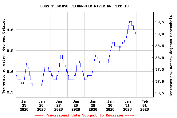
Temperature, water, degrees Celsius

Most recent instantaneous value: 7.0 11-21-2024   01:30 PST
Graph of  Temperature, water, degrees Celsius

Add up to 2 more sites and replot for "Temperature, water, degrees Celsius"

?


Create presentation-quality / stand-alone graph.   Subscribe to WaterAlert      

See this graph on the Monitoring Location Pages


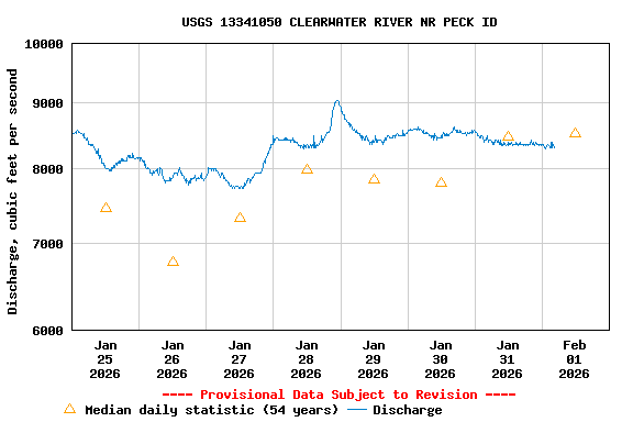
Discharge, cubic feet per second

Most recent instantaneous value: 3700 11-21-2024   01:30 PST
Graph of  Discharge, cubic feet per second

Add up to 2 more sites and replot for "Discharge, cubic feet per second"

?


Create presentation-quality / stand-alone graph.   Subscribe to WaterAlert      

See this graph on the Monitoring Location Pages


Daily discharge, cubic feet per second -- statistics for Nov 21 based on 53 water years of record more
Min
(1972)
Most Recent
Instantaneous
Value Nov 21
25th
percen-
tile
Median Mean 75th
percen-
tile
Max
(1996)
2090 3700 4180 5610 6760 8310 23500


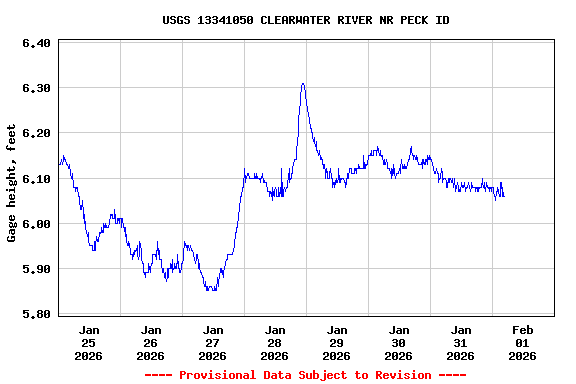
Gage height, feet

Most recent instantaneous value: 4.04 11-21-2024   01:30 PST
Graph of  Gage height, feet

Add up to 2 more sites and replot for "Gage height, feet"

?


Create presentation-quality / stand-alone graph.   Subscribe to WaterAlert      

See this graph on the Monitoring Location Pages