PROVISIONAL DATA SUBJECT TO REVISION
Click to hidestation-specific text
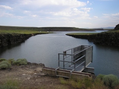
Station operated in cooperation with Salmon River Canal Company.
Summary of all available data for this site
Instantaneous-data availability statement
Station operated in cooperation with Salmon River Canal Company.

![]() U.S. Department of the Interior |
U.S. Geological Survey
U.S. Department of the Interior |
U.S. Geological Survey
Title: USGS Current Conditions for Idaho
URL:
Page Contact Information: Idaho Water Data Support Team
Page Last Modified: 2024-04-24 00:59:38 EDT
1.1 0.98 caww01