USGS 13240000 LAKE FORK PAYETTE RIVER AB JUMBO CR NR MCCALL ID

PROVISIONAL DATA SUBJECT TO REVISION

Click to hidestation-specific text
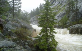
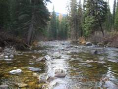
Lake Fork Payette River above Jumbo Creek near McCall, ID - USGS file photo flood Lake fork Payette River above Jumbo Creek near McCall, ID - USGS file photo downstream

> Rating Information

Due to budgetary reductions, this gage will be operated seasonally from April 1-Sept 30 unless alternative funding sources can be found.

This station managed by the Boise Field Office.

Available Parameters Available Period
  
1986-10-01  2023-10-01
2007-10-01  2023-10-01


 (7)
 

  -- or --


Summary of all available data for this site
Instantaneous-data availability statement
*** There are no data available on the Waterdata system for the time period specified,
    although data may be available in the files of the local USGS office operating the station.