This site is affected by storm tides which increase stream water
levels at the gage. Stage values reported are believed to be reasonably
accurate, but the higher stage readings may produce estimates of
discharge that are higher than actual.
LOCATION.--Lat 39°16'48.1", long 76°00'52.4", Kent County, MD, Hydrologic Unit 02060002,
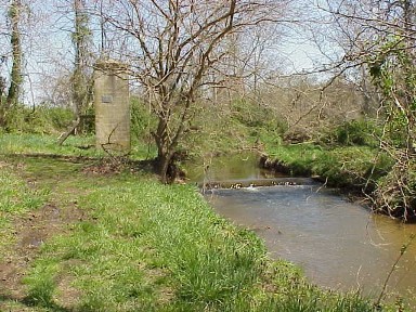
on right bank 200 ft upstream from highway bridge, 2.0 mi southwest of Kennedyville, and 4.5 mi
upstream from mouth.
DRAINAGE AREA.--12.7 mi2.
PERIOD OF RECORD.--May 1951 to September 2005, October 2006 to current year.
REVISIONS HISTORY.--WSP 1552: 1952, 1953(P), 1954(M), 1955, 1956-57(M). WDR MD-DE-76-1: Drainage area.
WDR MD-DE-79-1: 1961(M). WDR MD-DE-80-1: 1976(P).
GAGE.--Water-stage recorder, concrete control and crest-stage gage. Datum of gage is 0.97 ft above
North American Vertical Datum of 1988.
REMARKS.--U.S. Geological Survey satellite data-collection platform at station. Flow occasionally
affected by crop irrigation upstream from station during summer months. Water-quality records for
some prior periods have been collected at this location.
EXTREMES FOR PERIOD OF RECORD.--Maximum discharge, 11,200 ft3/s, Sept. 16, 1999,
gage height, 15.03 ft; minimum discharge, 0.05 ft3/s, Aug. 16, 20, 2008, as a result of irrigation.
COOPERATION.--Funding for the operation of this station is provided by the Maryland Geological
Survey, and the U.S. Geological Survey.

