LOCATION.--Lat 39°26'36.9", long 77°22'56.2", Frederick County, MD, Hydrologic Unit 02070009,
on downstream side of Monocacy Blvd. bridge, 0.4 mi south of MD Route 26 (Liberty Rd.),
1.7 mi downstream from Israel Creek, 4.5 mi upstream from Linganore Creek, and 21.8 mi upstream
from mouth.
DRAINAGE AREA.--703 mi2.
PERIOD OF RECORD.--October 2003 to current year.
GAGE.--Water-stage recorder and crest-stage gage. Datum of gage is 240.00 ft above North American
Vertical Datum of 1988 (levels by City of Frederick Engineers).
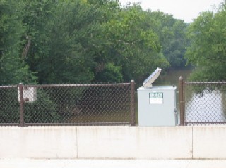
REMARKS.--U.S. Geological Survey satellite data-collection platform at station.
EXTREMES FOR PERIOD OF RECORD.--Maximum discharge, 29,200 ft³/s, Sept. 2, 2021, gage height, 25.86 ft;
minimum discharge, 32.3 ft³/s, Oct. 13, 15, 2007.
COOPERATION.--Funding for the operation of this station is provided by the City of Frederick.

