PROVISIONAL DATA SUBJECT TO REVISION
Click to hidestation-specific text
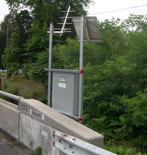
LOCATION.--Lat 38°30'42.0", long 75°52'47.7", Dorchester County, MD, Hydrologic Unit 02080110,
   on right bank at downstream side of highway bridge on U.S. Route 50, 1.6 mi east of Salem,
   3.5 mi northwest of Vienna, and 13 mi upstream from confluence with Transquaking River.
DRAINAGE AREA.--15.0 mi2.
PERIOD OF RECORD.--April 1951 to September 1980, October 2000 to current year.
REVISED RECORDS.--WSP 1332: 1952. WDR US 2006: 2001-05.
GAGE.--Water-stage recorder and crest-stage gage. Datum of gage is 2.88 ft above North American
   Vertical Datum of 1988. Gage was previously located downstream of Big Mill Pond dam.
REMARKS.--Occasional regulation by Big Mill Pond. Diversion for irrigation of about 225 acres above
   station. U.S. Geological Survey satellite data-collection platform at station. Water-quality records
   for some prior periods have been collected at this location.
EXTREMES FOR PERIOD OF RECORD.--Maximum discharge, 1,840 ft³/s, June 25, 2006, gage height, 5.68 ft;
   minimum discharge, 0.13 ft³/s, July 6, 1977, as a result of pumpage for irrigation.
COOPERATION.--Funding for the operation of this station is provided by Maryland Geological Survey,
   and the U.S. Geological Survey.
This site is being affected by beaver dams downstream creating an increased water surface elevation. Stage values reported are believed to be reasonably accurate, but the higher stage readings may produce values of discharge that are higher than actual.
Summary of all available data for this site
Instantaneous-data availability statement

