PROVISIONAL DATA SUBJECT TO REVISION
Click to hidestation-specific text
NOTICE (05/20/2021) -- Data
collection at this streamgage was discontinued on 06/30/2021.
Although historic data will remain accessible, no new data will be
collected unless one or more new funding partners are found.
Potential funding partners or those with general questions concerning
continuance of operations may contact Chuck Walker
(cwwalker@usgs.gov;443-498-5523).
|
|
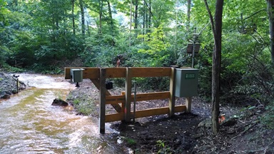
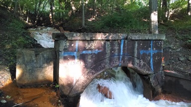
LOCATION.--Lat 39°38'18.0", long 78°53'33.2", Allegany County, MD, Hydrologic Unit 02070002,
   on right bank 100 ft upstream from Preston Run, 0.5 mi upstream from Braddock Run, and
   0.25 mi south of Clarysville.
DRAINAGE AREA.--Indeterminate for this location
PERIOD OF RECORD.--July 2015 to current year.
GAGE.--Water-stage recorder and crest-stage gage. Datum of gage is 1,546.41 ft above
   North American Vertical Datum of 1988.
REMARKS.--Water-quality records for some prior periods have been collected at this
   location. U.S. Geological Survey satellite data-collection platform at station.
COOPERATION.--Funding for the operation of this station is provided by the Maryland
   Department of the Environment and the U.S. Geological Survey.
Summary of all available data for this site
Instantaneous-data availability statement