PROVISIONAL DATA SUBJECT TO REVISION
 Operated in cooperation with the Minnehaha Creek Watershed District with USGS matching funds. |
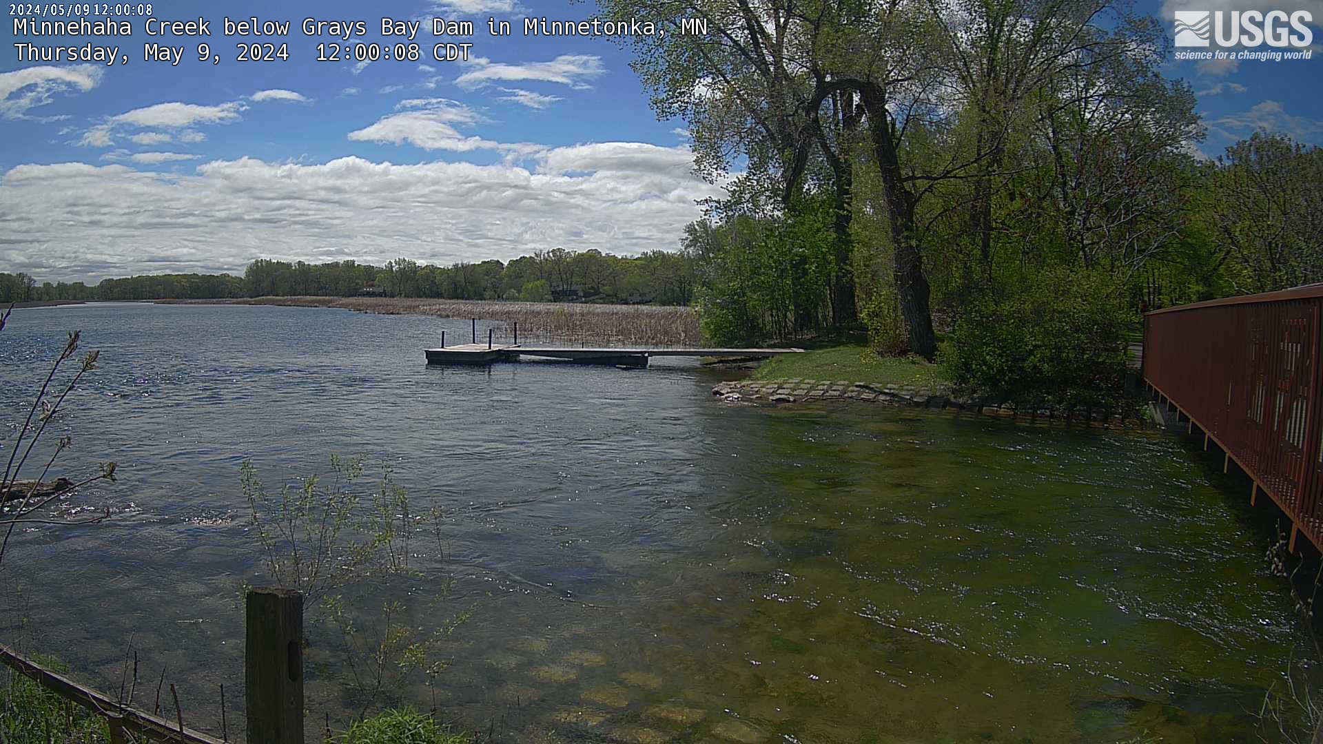
Click the image below to view a larger version of the most recent photo of creek or use the following link to view the series of recent photos tied interactively to the streamgage's water level recordings from the USGS Hydrologic Image and Visualization Information System (HIVIS) web page.
 |
Summary of all available data for this site
Instantaneous-data availability statement
