LOCATION.--Lat 41°57'56", long
74°17'35" referenced to North American Datum of 1983,
Ulster County, NY, Hydrologic Unit 02020006, on right bank 250
ft downstream from confluence with Maltby Hollow Brook, 300 ft
downstream from County Highway 42 bridge over Maltby Hollow
Brook, at West Shokan.
DRAINAGE AREA.--17 mi².
PERIOD OF RECORD.--August 2000 to current year.
GAGE.--Water-stage recorder and crest-stage gage. Datum
of gage is 683.03 ft above NGVD of 1929 and 682.34 ft above
NAVD of 1988. Prior to Aug. 20, 2009, at site 100 ft upstream
at datum 4.00 ft higher. Aug. 20, 2009 to Sept. 30, 2011, at
present site at datum 2.00 ft higher.
REMARKS.--Water Years 2014-23: Records fair except those
for estimated daily discharges, which are poor.
EXTREMES FOR PERIOD OF RECORD.--Maximum discharge, 6,240
ft³/s, Aug. 28, 2011, gage height, 14.30 ft, present datum,
from floodmark, from rating curve extended above 2,400 ft³/s,
on basis of slope-area measurements at gage heights 11.71 ft
and 14.30 ft, present datum; minimum discharge, 2.1 ft³/s,
Sept. 8, 9, 10, 12, 13, 2001; minimum gage height, 1.32 ft,
Sept. 2, 17, 18, 2012.

 Site Information
 WaterAlert – get an
email or text (SMS) alert based on your chosen threshold.
WaterAlert – get an
email or text (SMS) alert based on your chosen threshold.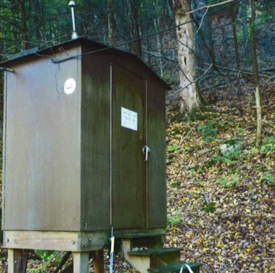 Station image