Water-quality parameters are not measured below gage heights of
0.40 feet due to water surface being below probes.
LOCATION.--Lat 38°30'06", long. 76°05'39", Dorchester County, Hydrologic Unit 02060007,
on left bank, about 1.5 mi downstream of confluence of North and East Little Blackwater River,
3.1 mi upstream of confluence of Hughs Dam Creek, and 7.1 mi upstream of mouth.
DRAINAGE AREA.--15.3 mi2.
PERIOD OF RECORD.--October 2005 to current year.
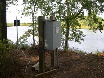
GAGE.--Water-stage recorder. Datum of gage is 1.248 below North American Vertical Datum of 1988,
from NGS bench mark EDGAR2005.
REMARKS.--This is a stage only station. Discharge is not determined at this location.
U.S. Geological Survey satellite data-collection platform at station.
COOPERATION.--Funding for the operation of this station is provided by the Maryland Department
of the Environment, Wetlands and Waterways Program and the U.S. Geological Survey.
