Funding for this site is provided by:
 STATION.
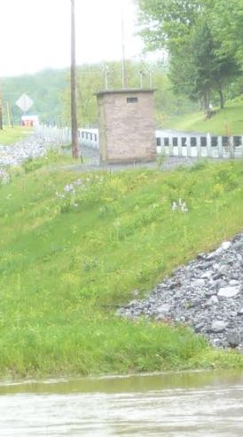
--01564500 AUGHWICK CREEK NEAR THREE
SPRINGS, PA
LOCATION.--Lat 40`12'45", long
77`55'32", Huntingdon County, Hydrologic Unit 02050304, on
right bank 10 ft downstream from bridge on State Highway 994, 300 ft
upstream from East Broad Top Railroad bridge, 350 ft upstream from
Three Springs Creek, and 3.5 mi northeast of Three Springs.
DRAINAGE AREA.--205 square miles, includes that of
Three Springs Creek; 174 square miles without Three Springs Creek
PERIOD OF RECORD.--June 1938 to current year.
GAGE.--Water-stage recorder and crest-stage gage.
Datum of gage is 618.65 ft above National Geodetic Vertical Datum of
1929.
COOPERATION.--Station established and maintained by
the U.S. Geological Survey. Funding for the operation of this station
is provided by the Pennsylvania Department of Environmental Protection
and the U.S. Geological Survey.
REMARKS.--Records include flow of Three Springs
Creek.
GAGE HEIGHTS OF IMPORTANCE.-
Supplied by USGS: Maximum recordable gage height
(stage sensor operational limit) - 21.1 ft; Data transmitter
operational limit - 22.2 ft;
Supplied by NWS: No flood stage has been determined
for this station.

