Warning: Javascript must be enabled to use all the features on this page!


Page Loading - Please Wait...

Click to hideNews Bulletins

USGS 01581753 ATKISSON RESERVOIR NEAR BEL AIR, MD

PROVISIONAL DATA SUBJECT TO REVISION

Click to hidestation-specific text

LOCATION.--Lat 39°29'07.9", long 76°20'40.7", Harford County, MD, Hydrologic Unit 02060003, 
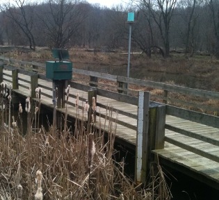
   on pier at Harford Glen Environmental Education Center, 0.7 mi upstream of Atkisson Reservoir
   Dam, and 3.3 mi south of Bel Air.
PERIOD OF RECORD (CLIM).--October 2010 to current year.
GAGE.--Tipping bucket rain gage.
REMARKS.--U.S. Geological Survey water-data telemeter at station.
EXTREMES FOR PERIOD OF RECORD.--Maximum daily precipitation, 5.70 in., Oct. 29, 2012.
COOPERATION.--Funding for the operation of this station is provided by 
   the Harford County Department of Public Works. 
This station managed by the MD-DE-DC Water Science Center Baltimore office.

Available Parameters Period of Record
  
2010-10-01  2023-07-06
2015-10-01  2021-05-16


 (365)
 

  -- or --


Summary of all available data for this site
Instantaneous-data availability statement


Precipitation, total, inches


Graph of DAILY Precipitation, total, inches

Add up to 2 more sites and replot for "Precipitation, total, inches"

?


Create presentation-quality graph.