|
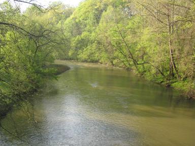 |
LOCATION.--Lat 39°13'38.4", long 76°43'22.8", Baltimore County, MD, Hydrologic Unit 02060003,
on left bank 50 ft upstream from bridge on Gun Road, in Patapsco Valley State Park, 0.9 mi
northwest of Elkridge, 1.3 mi southwest of Halethorpe, and 4.5 mi east of Columbia.
DRAINAGE AREA.--312 mi2, from automated delineation using 30-meter National Elevation Dataset,
digital elevation model data, dated 2006.
PERIOD OF RECORD.--October 2010 to current year.
PERIOD OF WATER QUALITY RECORD.--October 2010 to October 2021.
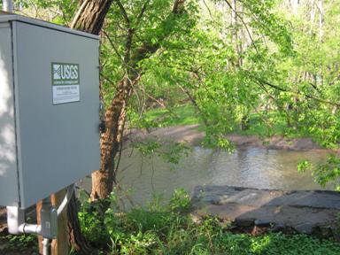
GAGE.--Water-stage recorder and crest-stage gage. Datum of gage is 8.50 ft above North American
Vertical Datum of 1988.
REMARKS.--Flow regulated by Liberty Reservoir, approximately 21 mi upstream, beginning July 22, 1954,
usable capacity, 42,070,000,000 gal; dead storage, 1,260,000,000 gal. Diversions upstream from station
for municipal supply of Westminster (sewage effluent discharged into Little Pipe Creek), and from Liberty
Reservoir beginning Feb. 26, 1953, for municipal supply of Baltimore, and beginning February 1970 for a
small municipal supply for part of Carroll County. Turbidity values that are determined to be a result
of debris on the sensor; a function of incident sun angle; or other phenomena that do not appear to be
correlated to suspended-sediment concentration are removed by the hydrographer. U.S. Geological Survey
satellite data-collection platform at station until August 14, 2018. U.S. Geological Survey water-data
telemeter at station, August 14, 2018 to August 31, 2020. U.S. Geological Survey satellite data-collection platform
at station August 31, 2020 to current year.
EXTREMES FOR PERIOD OF RECORD.--Maximum discharge, 26,900 ft³/s, May 27, 2018, gage height, 24.76 ft;
minimum discharge, 35.0 ft³/s, Sept. 16, 17, 2012.
COOPERATION.--Funding for the operation of this station is provided by the U.S. Fish and Wildlife Service,
and the Maryland Department of Transportation.

