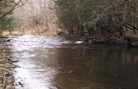
LOCATION.--Lat 39°30'05.0", long 79°09'31.5", Garrett County, MD,
Hydrologic Unit 02070002, on left bank 0.5 mi upstream from mouth, 1.0 mi downstream
from Springlick Run, and 5.0 mi northeast of Swanton.
DRAINAGE AREA.--16.7 mi2.
PERIOD OF RECORD.--September 1948 to September 1981, July 2013 to June 2016 (discontinued).
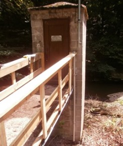
GAGE.--Water-stage recorder and crest-stage gage. Datum of gage is 1,528.64 ft above
North American Vertical Datum of 1988.
REMARKS.--Water-quality records for some prior periods have been collected at this location.
U.S. Geological Survey satellite data-collection platform at station.
NOTICE--As of July 1, 2016, data
collection at this streamgage has been discontinued due to funding
reductions from partner agencies. Although historic data will remain
accessible, no new data will be collected unless one or more new
funding partners are found. Questions or concerns can be directed to
Jon Dillow (jjdillow@usgs.gov; 443-498-5524).