Funding for this site is provided by:
 STATION.
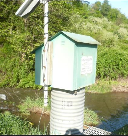
--01613050 TONOLOWAY CREEK NEAR NEEDMORE,
PA
LOCATION.--Lat 39`53'54", long
78`07'57", Fulton County, Hydrologic Unit 02070004, on left
bank 10 ft downstream from bridge on SR 3008, 0.2 mi upstream from
Foster Creek, and 3.5 mi north of Needmore.
DRAINAGE AREA.--10.7 square miles.
PERIOD OF RECORD.--Occasional discharge measurements
and annual maximums, water years 1963-65. October 1965 to current
year.
GAGE.--Water-stage recorder and crest-stage gage.
Datum of gage is 688.94 ft above National Geodetic Vertical Datum of
1929. Prior to Sept. 2, 1965, crest-stage gage at same site at datum
2.0 ft higher.
COOPERATION.--Station established and maintained by
the U.S. Geological Survey. Funding for this station is provided by the
Pennsylvania Department of Environmental Protection and the U.S.
Geological Survey.
GAGE HEIGHTS OF IMPORTANCE.-
Supplied by USGS: Data transmitter operational limit -
13.5 ft;
Supplied by NWS: No flood stage has been determined
for this station.

