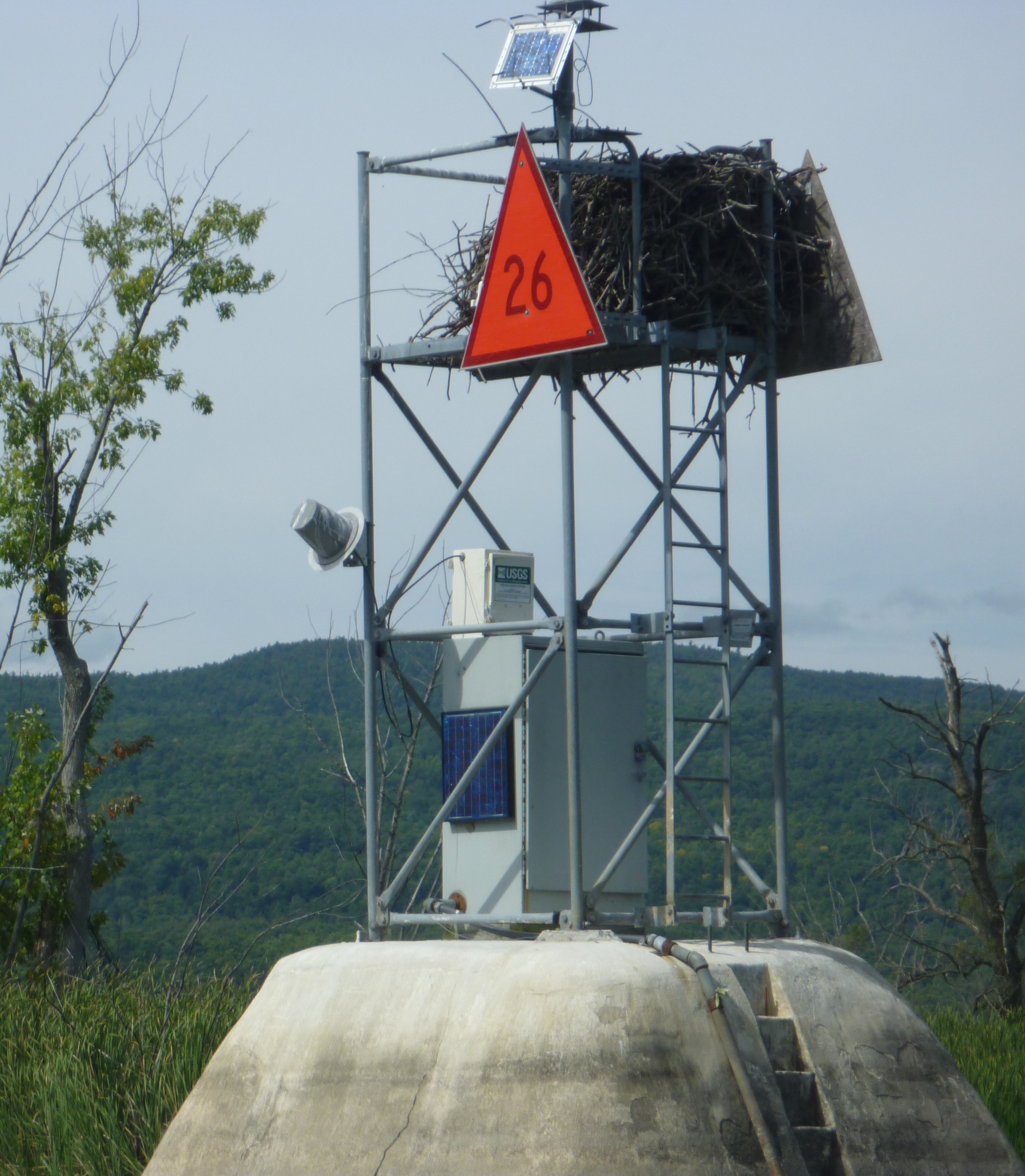
LOCATION.--Lat 43°37'18.8", long
73°25'06.2" referenced to North American Datum of
1983, Washington County, NY, Hydrologic Unit 04150408, on U.S.
Coast Guard navigation structure No. 26 on Lake Champlain, 2.5
mi north of State boat launch at South Bay, and approximately 4
mi north of Whitehall.
DRAINAGE AREA.--725 mi².
PERIOD OF RECORD.--October 1998 to current year.
GAGE.--Water-stage recorder. Datum of gage is NGVD of
1929 (New York State Department of Environmental Conservation
bench mark). To convert elevations to NAVD of 1988, subtract
0.53 ft.
REMARKS.--Area of lake surface about 490 mi². Total
volume below 92.5 ft elevation, reported by Lake Champlain
Studies Center, 902.2 bil ft³.
EXTREMES FOR PERIOD OF RECORD.--Maximum elevation,
103.57 ft, May 9, 2011, affected by seiche; minimum elevation,
92.49 ft, Oct. 16, 2016, affected by seiche.

 Site Information
 WaterAlert – get an
email or text (SMS) alert based on your chosen threshold.
WaterAlert – get an
email or text (SMS) alert based on your chosen threshold.
 Station image