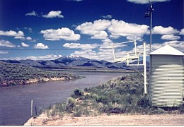
LOCATION.--Lat 43° 29'44", long 113° 04'24" (NAD83), in NE1/4 SW1/4 SW1/4
sec.13, T.2 N., R.28 E., Butte County, Big Southern Butte quad., Hydrologic
Unit 17040218, on left bank, 1.4 mi south of head of INL diversion,
0.05 mi south of outlet of spreading area A, and 14.5 mi southeast of Arco.
PERIOD OF RECORD.--1965-68 (discharge measurements only); June 1984 to September 2009
(discontinued).
GAGE.--Water-stage recorder. Datum of gage is 5,000.00 ft above NGVD of 1929
(levels by USGS).
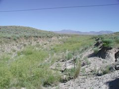
REMARKS.--Flow is regulated by Mackay Reservoir (see sta 13126000) and is diverted
from the Big Lost River at the INL Diversion at Head (see sta 13132513) for
purposes of flood control at the Idaho National Laboratory site.
EXTREMES FOR PERIOD OF RECORD.--Maximum daily discharge, 989 ft3/s June 9, 1986;
no flow on many days.
Station operated in cooperation with U.S. Department of Energy.