PROVISIONAL DATA SUBJECT TO REVISION
Click to hidestation-specific text
Funding for this site is provided by:
 STATION.--400209077183301 CUMBERLAND COUNTY, local
well number CU2
STATION.--400209077183301 CUMBERLAND COUNTY, local
well number CU2LOCATION.--Lat 40 02'07.0", long 77 18'29.1", Hydrologic Unit 02050305, at Michaux State Forest, and at Pine Grove Furnace.
OWNER.--Commonwealth of Pennsylvania.
AQUIFER.--Metarhyolite, Precambrian age.
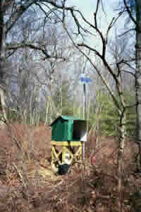
WELL CHARACTERISTICS.--Drilled unused observation well, diameter 6 in., depth 44 ft, cased to 19 ft. On June 6, 2013 well depth was found to be 44 ft by sounding with steel tape; depth previously reported at 37 ft.
INSTRUMENTATION.--Data collection platform with 15-minute recording interval since April 2023; prior, 60-minute recording interval. Satellite telemetry at station.
DATUM.--Elevation of land surface is 963.6 ft above North American Vertical Datum of 1988, from survey. Measuring point: Top of shelf, 3.3 ft above land-surface datum. Prior to June 2, 1999, top of casing, 1.5 ft above land-surface datum.
REMARKS.--Daily maximum, minimum, and mean water levels since June 1999 are available from the District Office.
PERIOD OF RECORD.--June 1951 to March 1955, instantaneous water levels obtained several times per month. July 1955 to current year.
COOPERATION.--Funding for the operation of this station is provided by the U.S. Geological Survey.
This gage is monitored as part of the National Groundwater and Streamflow Information Program.
Summary of all available data for this site
Instantaneous-data availability statement
