PROVISIONAL DATA SUBJECT TO REVISION
Click to hidestation-specific text
Funding for this site is provided by:
 Site Information
LOCATION.--Lat 42°24'45", long
77°20'33" referenced to North American Datum of 1927,
Steuben County, NY, Hydrologic Unit 02050105, adjacent to south
edge of dirt road, 20 ft south of driveway, and 300 ft east of
farmhouse, near Kanona.
WELL CHARACTERISTICS.--Depth 15 ft. Upper casing diameter 2.5 in; top of first opening 16.3 ft, bottom of last opening 17.4 ft. Well filled in from original depth of 18 ft, cased to 17.4 ft (screen, 16.3 ft to 17.4 ft).
DATUM.--Land-surface datum is 1,221.33 ft above North American Vertical Datum of 1988. Measuring point: Top of extended casing, 3.37 ft above land-surface datum, Sep. 5, 2012 to present.
PERIOD OF RECORD.--November 1965 to current year. Records for November 1965 to September 1976 are unpublished and available in files of the Geological Survey. Weekly measurements by observer and periodic tape-downs by USGS personnel November 1965 to December 1997.
REVISIONS HISTORY.--Previously reported datum of 1,209.78 ft above NGVD of 1929 (New York State Department of Transportation bench mark) was found to be in error and updated to 1,221.33 ft above NAVD of 1988 on Aug. 4, 2022.
GAGE.--Water-stage recorder--15 minute; periodic measurements by USGS personnel.
REMARKS.--Water level affected by stage of Fivemile Creek. Satellite water-level telemeter at station.
EXTREMES FOR PERIOD OF RECORD.--Highest water level, 3.55 ft below land-surface datum, Apr. 4, 2005; lowest water level measured, 10.84 ft below land-surface datum, Sept. 22, 1966.
 WaterAlert – get an
email or text (SMS) alert based on your chosen threshold.
WaterAlert – get an
email or text (SMS) alert based on your chosen threshold.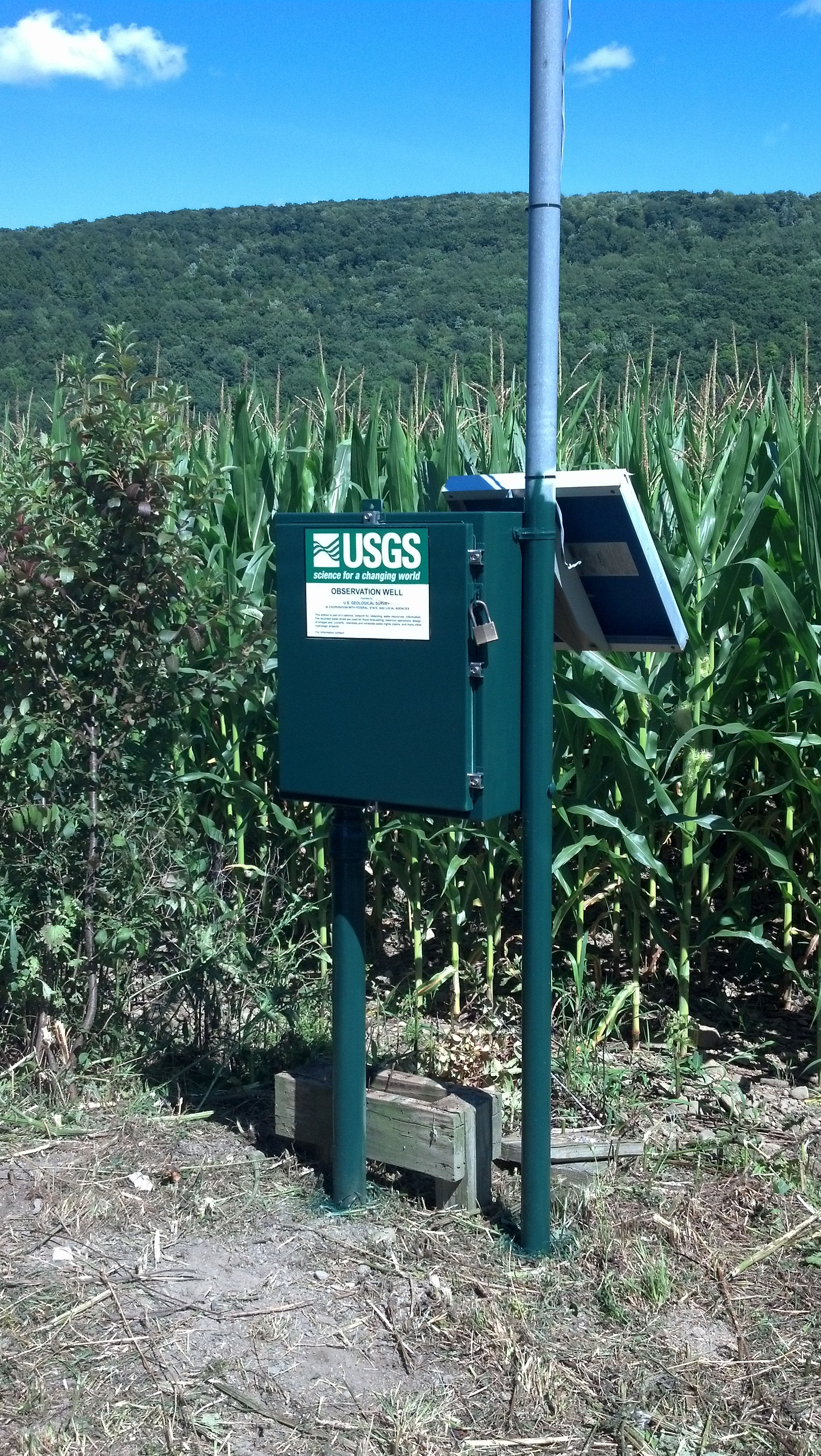 Station image
Summary of all available data for this site
Instantaneous-data availability statement
