PROVISIONAL DATA SUBJECT TO REVISION
Click to hidestation-specific text
|
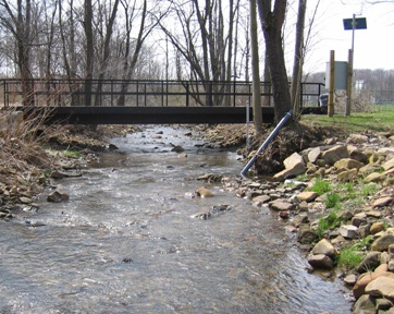 |
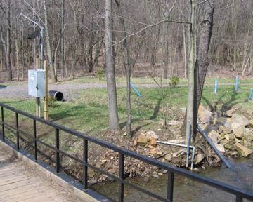
LOCATION.--Lat 39°38'50.9", long 78°56'10.4", Allegany County, MD, Hydrologic Unit 02070002, on right bank 800 ft upstream of Braddock Road, .8 mi upstream from Georges Creek. Station located within the arboretum at the Frostburg State University campus. DRAINAGE AREA.--3.58 mi2. PERIOD OF RECORD.--April 2006 to September 2008 (discontinued). GAGE.--Water-stage recorder. Datum of gage is 1,883.11 ft above North American Vertical Datum of 1988. REMARKS.--The station is part of the Sand Spring Run Research and Training Watershed Initiative and is operated largely by student workers of the U.S. Geological Survey. U.S. Geological Survey satellite data-collection platform at station. COOPERATION.--Funding for the operation of this station is provided by Frostburg State University, and the U.S. Geological Survey.NOTICE--Data collection at this streamgage has been discontinued due to lack of funding. Although historic data will remain accessible, no new data will be collected unless one or more new funding partners are found. Questions or concerns can be directed to Jon Dillow (jjdillow@usgs.gov; 443-498-5524).
| Boating safety tips |
Instantaneous-data availability statement