LOCATION.--Lat 41°10'41", long 91°10'55"
referenced to North American Datum of 1927, in NW 1/4 SE 1/4 SE 1/4
sec.27, T.74 N., R.3 W., Louisa County, IA, Hydrologic Unit 07080209,
on right bank 1,200 ft downstream from bridge on State Highway 99, at
eastern edge of Wapello, 13.9 mi downstream from Cedar River, and
15.2 mi upstream from mouth. Sediment samples collected by boat in
vicinity of gage. (map)
DRAINAGE AREA.--12,500 mi2.
SURFACE-WATER RECORDS
PERIOD OF RECORD.--Discharge records from October 1914 to current
year. Prior to March 1918, monthly mean discharge for some periods
published in WSP 1308.
REVISED RECORDS.--WSP 1308: 1917, 1923-1930, 1932. WSP 1438:
Drainage area. WSP 1558: 1918, 1923-1925 (M), 1929. WSP 1708: 1955
(P), 1956.
GAGE.--Water-stage recorder. Datum of gage is 538.17 ft above
National Geodetic Vertical Datum of 1929. Prior to April 16, 1934,
non-recording gage; prior to October 1, 1972, at datum 10.00 ft
higher.
REMARKS.--Flow regulated by Coralville Lake (station 05453510),
67.3 mi upstream, since September 17, 1958.
WATER-QUALITY RECORDS
PERIOD OF RECORD.--Water years 1978 to current year.
PERIOD OF DAILY RECORD.--
NITRATE + NITRITE: June 2009 to current year, records
fragmentary.
SPECIFIC CONDUCTANCE: Daily instantaneous values collected in
conjunction with suspended-sediment samples, January 1978 to
September 2006, October 2009 to September 2010, records fragmentary.
Beginning October 2010, daily instantaneous values published in
combined water-quality table.
WATER TEMPERATURE: Daily instantaneous values collected in
conjunction with suspended-sediment samples, January 1978 to
September 2006, records fragmentary. Beginning October 2010, daily
instantaneous values published in combined water-quality table. Daily
mean, October 2011 to current year, records fragmentary.
SUSPENDED-SEDIMENT CONCENTRATION AND DISCHARGE: April 1978 to
September 2006, October 2009 to current year, records fragmentary for
some periods.
REMARKS.--During periods of ice effect, samples are collected in
open-water channel or through ice cover. Records of specific
conductance from suspended-sediment samples are obtained at time of
laboratory analysis.
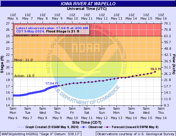
 National Weather Service River
Forecast
National Weather Service River
Forecast