PROVISIONAL DATA SUBJECT TO REVISION
Click to hidestation-specific text
Funding for this site is provided by:



 Site Information
LOCATION.--Lat 40°55'59.5", long
72°13'28.0" referenced to North American Datum of
1983, Suffolk County, NY, Hydrologic Unit 02030202, on
southeastern shore at Village of East Hampton preserve on West
End Road, near Apaquogue.
PERIOD OF RECORD.--June 2003 to current year.
GAGE.--Water-stage recorder. Datum of gage is NGVD of 1929. To convert elevations to NAVD of 1988, subtract 0.94 ft (VERTCON).
REMARKS.--During spring and fall, pond is opened to Atlantic Ocean to regulate stage for fisheries management, flood control, and sanitary improvement.
EXTREMES FOR PERIOD OF RECORD.--Maximum elevation, 10.67 ft, Oct. 29, 2012, from high-water mark, result of storm tide; minimum recorded elevation, 0.48 ft, Feb. 20, 2024, but may have been lower during periods of missing record.
PERIOD OF RECORD.--June 2003 to current year.
GAGE.--Water-stage recorder. Datum of gage is NGVD of 1929. To convert elevations to NAVD of 1988, subtract 0.94 ft (VERTCON).
REMARKS.--During spring and fall, pond is opened to Atlantic Ocean to regulate stage for fisheries management, flood control, and sanitary improvement.
EXTREMES FOR PERIOD OF RECORD.--Maximum elevation, 10.67 ft, Oct. 29, 2012, from high-water mark, result of storm tide; minimum recorded elevation, 0.48 ft, Feb. 20, 2024, but may have been lower during periods of missing record.
 WaterAlert – get an
email or text (SMS) alert based on your chosen threshold.
WaterAlert – get an
email or text (SMS) alert based on your chosen threshold.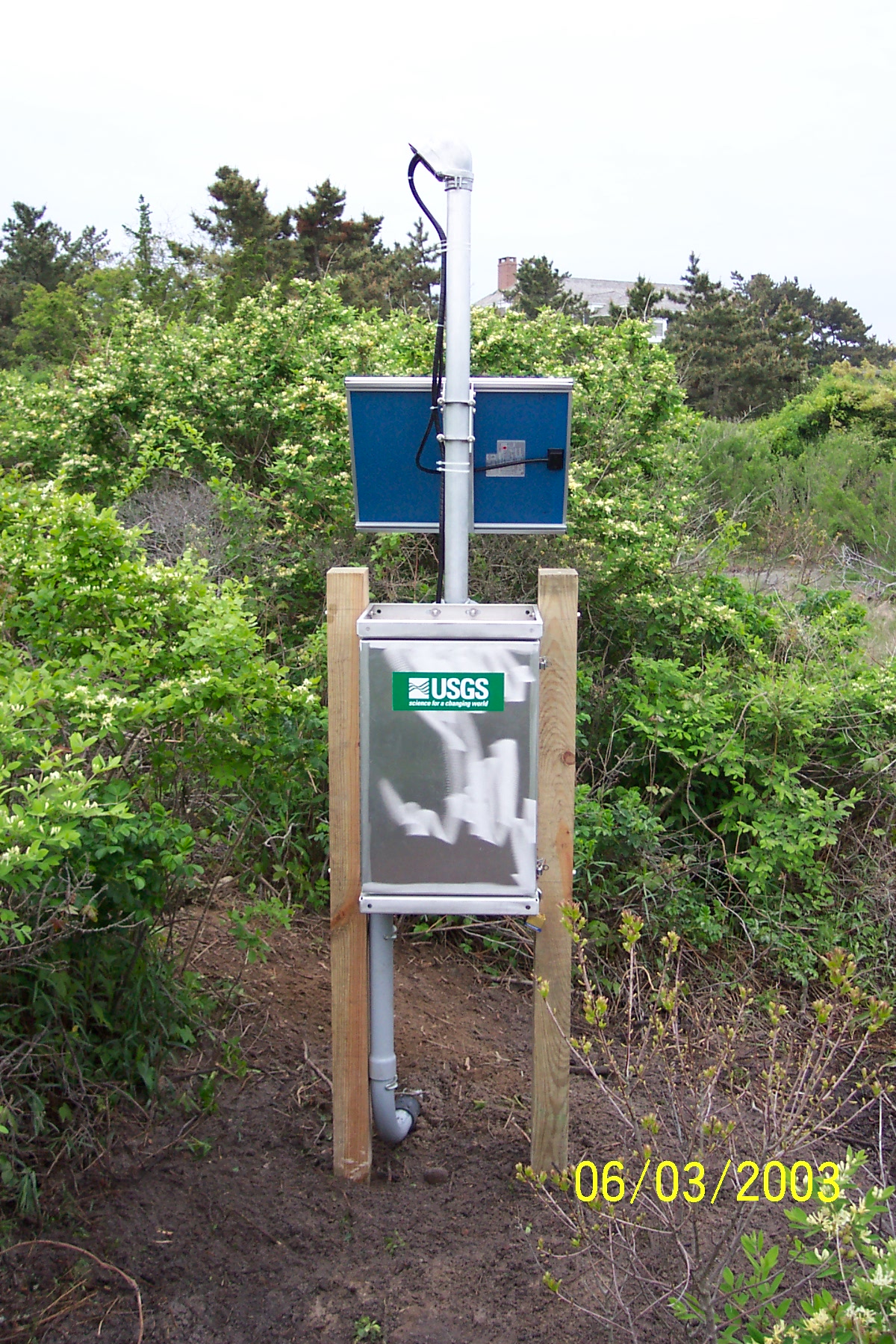 Station image
Summary of all available data for this site
Instantaneous-data availability statement
