PROVISIONAL DATA SUBJECT TO REVISION
Click to hidestation-specific text
Funding for this site is provided by:
 Site Information
LOCATION.--Lat 43°15'52", long
75°26'11" referenced to North American Datum of 1983,
Oneida County, NY, Hydrologic Unit 02020004, on right bank at
Rome Fish Hatchery, 1.0 mi downstream from Delta Dam, and 4.0
mi north of Rome.
DRAINAGE AREA.--152 mi².
PERIOD OF RECORD.--July 1921 to September 1927 (monthly discharges only, published in WSP 1302), October 1927 to current year.
REVISIONS HISTORY.--WDR NY-85-1: Drainage area.
GAGE.--Water-stage recorder and crest-stage gage. Datum of gage is 472.85 ft above NGVD of 1929, 474.00 ft above Barge Canal datum (furnished), and 472.34 ft above NAVD of 1988. Prior to Jan. 24, 1937, nonrecording gage at site 200 ft downstream at same datum.
REMARKS.--During canal navigation season, water is diverted from Black River through Forestport feeder and Black River Canal (flowing south) into basin above Delta Reservoir. Flow regulated by Delta Reservoir (station 01335900) (usable capacity, 2,800 mil ft³). Small quantity of water diverted from Delta Reservoir for fish hatchery use and later returned to river, part upstream and part downstream from station.
Water Years 2014-22: Records good. Water Years 2023-24: Records fair.
EXTREMES FOR PERIOD OF RECORD.--Maximum discharge, 8,560 ft³/s, Oct. 2, 1945, gage height, 11.18 ft, from rating curve extended above 6,100 ft³/s on basis of flow-over-dam measurement of peak flow; maximum gage height, 11.68 ft, Aug. 19, 2021, from floodmark; minimum discharge, 15 ft³/s, Mar. 26, Oct. 1, 24, Nov. 8, 2002; minimum gage height, 0.63 ft, Oct. 24, 25, 1983.
PERIOD OF RECORD1.--WATER TEMPERATURE: October 1960 to September 1962, October 1963 to December 1965, September 1966 to September 1972, April 1974 to March 1978.
REMARKS1.--Daily water-temperature measurements were made at approximately 0800 at Delta Dam.
1 Water-Quality Records
 WaterAlert – get an
email or text (SMS) alert based on your chosen threshold.
WaterAlert – get an
email or text (SMS) alert based on your chosen threshold.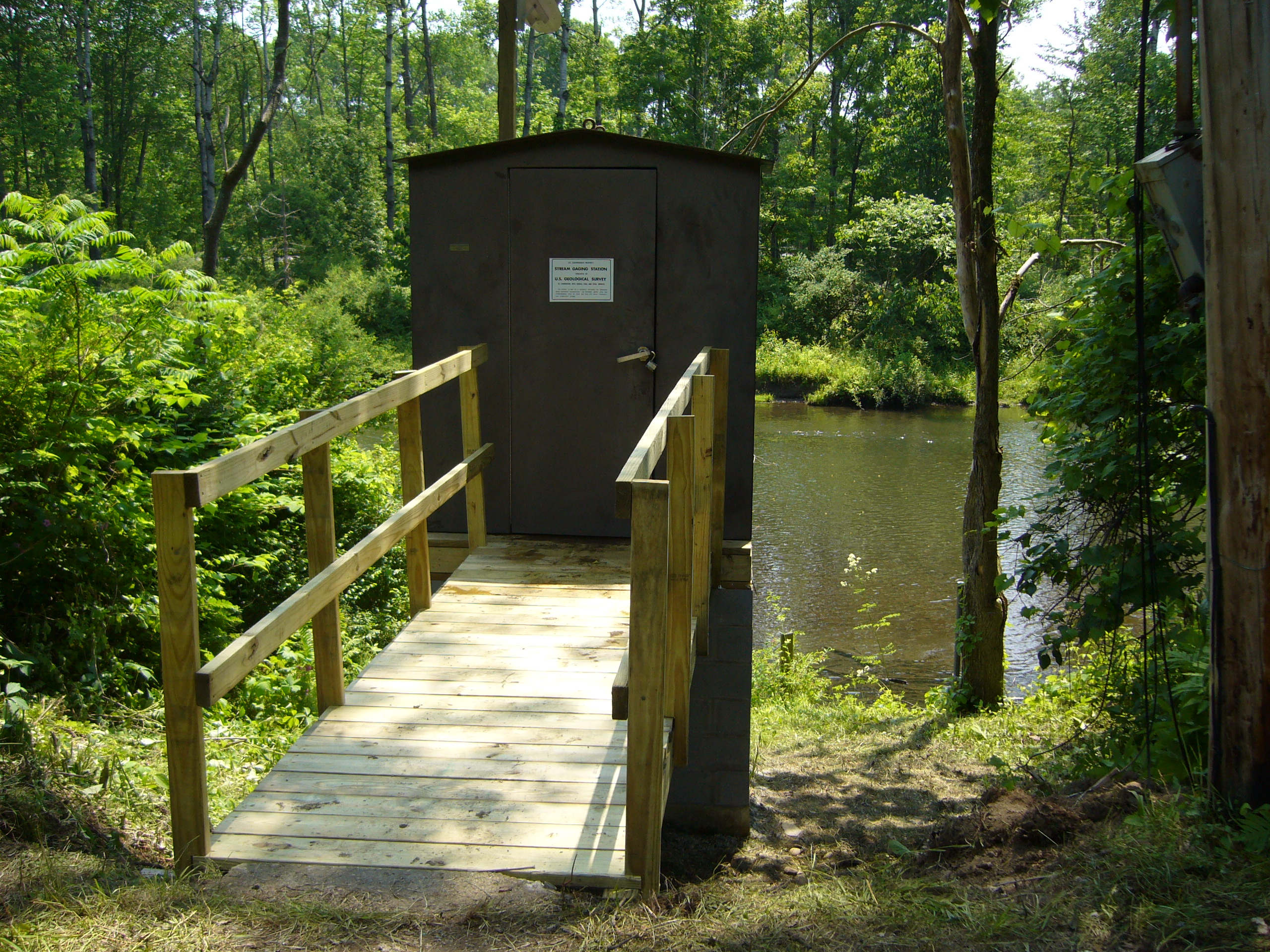 Station image
Summary of all available data for this site
Instantaneous-data availability statement

