PROVISIONAL DATA SUBJECT TO REVISION
Click to hidestation-specific text
Funding for this site is provided by:
 Site Information
LOCATION.--Lat 42°46'00", long
77°50'20" referenced to North American Datum of 1983,
Livingston County, NY, Hydrologic Unit 04130003, on right bank
100 ft north of Jones Bridge Road, 0.8 mi downstream from
Canaseraga Creek, 2.8 mi northeast of Mount Morris, and 63.0 mi
upstream from mouth.
DRAINAGE AREA.--1,424 mi².
PERIOD OF RECORD.--May 1903 to April 1906, August 1908 to April 1914, July 1915 to current year. Prior to 1968, published as "at Jones Bridge."
REVISIONS HISTORY.--WSP 1277: 1952. WSP 1387: 1913. WSP 1437: 1955. WDR NY-82-3: Drainage area. WDR NY-78-1: 1974-77 (M,m). WDR NY-01-3: 1991 (M), 1992 (M), 1996-2000 (M).
GAGE.--Water-stage recorder. Datum of gage is 540.12 ft above NGVD of 1929 and 539.57 ft above NAVD of 1988. Prior to Sept. 11, 1915, nonrecording gage on bridge at datum 2.85 ft lower.
REMARKS.--From 1916 to 2000, diurnal fluctuation at low flow caused by powerplant about 5.5 mi upstream. Flow regulated to some extent by Rushford Lake from July 1928 to November 1951, and at high flows by Mount Morris Lake (station 04224000) since November 1951. Monthly figures of discharge and runoff 1952 to 1966 water years adjusted for change in contents in Rushford Lake and Mount Morris Lake.
Water Years 2014-15: Records good except those for estimated daily discharges, which are fair.
Water Years 2016-23: Records good except those for estimated daily discharges, which are poor.
EXTREMES FOR PERIOD OF RECORD.--Maximum discharge, since construction of Mt. Morris Reservoir in November 1951, 17,800 ft³/s, June 24, 1972, gage height, 24.50 ft; minimum discharge, 12 ft³/s, July 23, 1955, gage height, 0.22 ft, partially obstructed intake.
EXTREMES FOR PERIOD PRIOR TO REGULATION.--Maximum discharge, prior to construction of Mt. Morris Reservoir in November 1951, 55,100 ft³/s, May 17, 1916, gage height, 25.44 ft; maximum gage height, 25.80 ft, Mar. 13, 1920 (ice jam); minimum discharge, 18 ft³/s, Aug. 29, 1909.
PERIOD OF DAILY RECORD1.--SUSPENDED-SEDIMENT DISCHARGE: April 1975 to September 1977.
EXTREMES FOR PERIOD OF DAILY RECORD1.--SUSPENDED-SEDIMENT CONCENTRATION: Maximum daily mean, 2,530 mg/L, Mar. 8, 1976; minimum daily mean, 5 mg/L, July 23, 1975. SUSPENDED-SEDIMENT DISCHARGE: Maximum daily, 55,900 tons, Mar. 8, 1976; minimum daily, 2.0 tons, Sept. 26, 1976.
1 Water-Quality Records
 WaterAlert – get an
email or text (SMS) alert based on your chosen threshold.
WaterAlert – get an
email or text (SMS) alert based on your chosen threshold.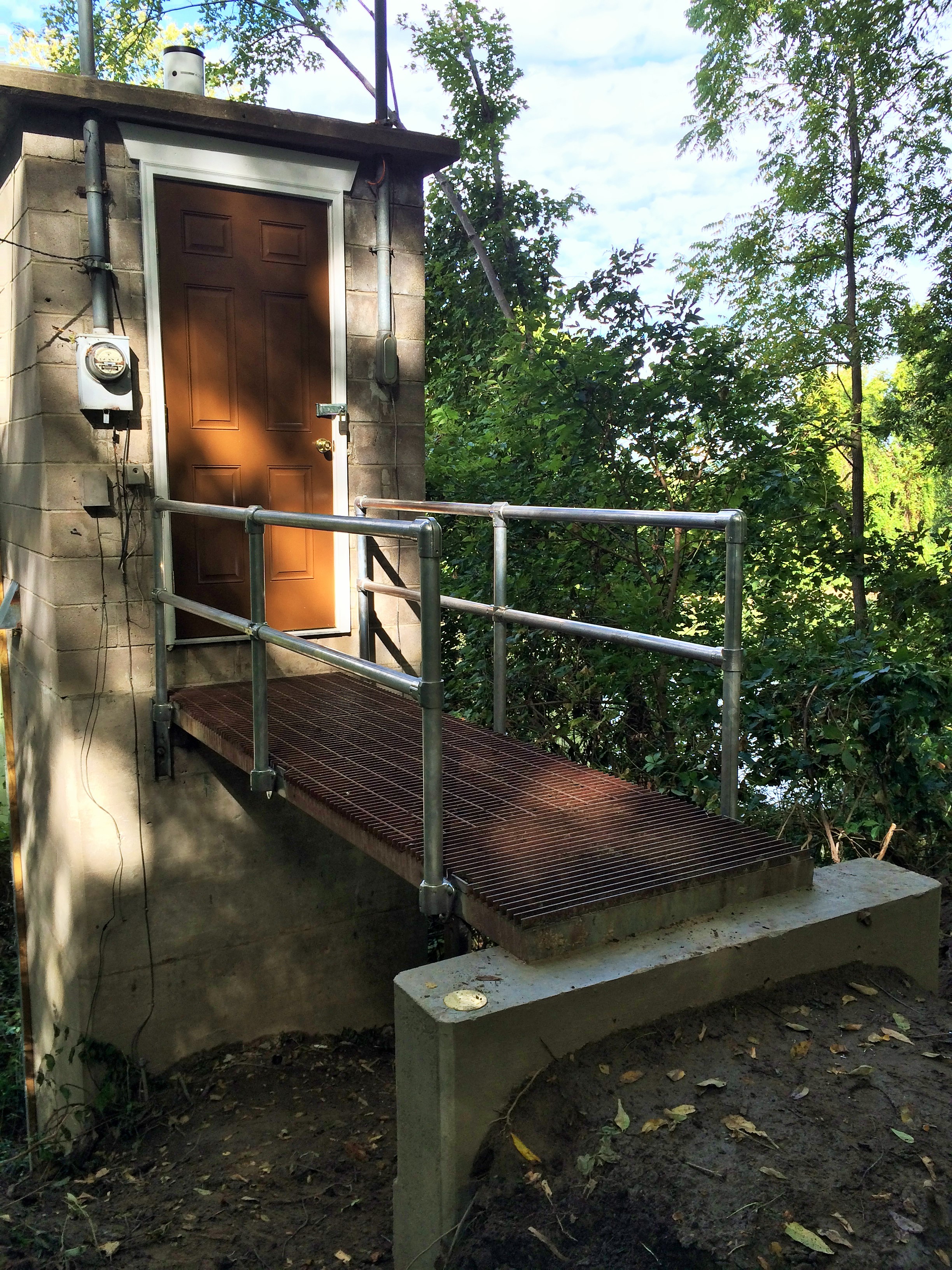 Station image
Summary of all available data for this site
Instantaneous-data availability statement

