PROVISIONAL DATA SUBJECT TO REVISION
Click to hidestation-specific text
Funding for this site is provided by:
 Site Information
LOCATION.--Lat 40°40'22.1", long
73°38'48.9" referenced to North American Datum of
1983, Nassau County, NY, Hydrologic Unit 02030202, on north
side of outlet structure in Hempstead Lake State Park, in West
Hempstead.
DRAINAGE AREA.--17.1 mi².
PERIOD OF RECORD.--May 2003 to March 2011 (nonrecording gage read once monthly), June 2022 to current year.
GAGE.--Water-stage recorder. Datum of gage is NAVD of 1988. Prior to June 2022, datum of gage was NGVD of 1929. June 22, 2022 to Dec. 8, 2022, at temporary site 0.3 mi north at present datum during period of construction.
EXTREMES FOR PERIOD OF RECORD.--June 2022 to current year - maximum elevation, 23.57 ft above NAVD of 1988, Sept. 30, 2023; minimum elevation, 18.21 ft above NAVD of 1988, Sept. 30, 2022. May 2003 to March 2011 - maximum elevation observed, 27.11 ft above NGVD of 1929 (25.98 ft above NAVD of 1988), Apr. 1, 2010; minimum elevation observed, 20.44 ft above NGVD of 1929 (19.31 ft above NAVD of 1988), May 13, 2003.
 WaterAlert – get an
email or text (SMS) alert based on your chosen threshold.
WaterAlert – get an
email or text (SMS) alert based on your chosen threshold.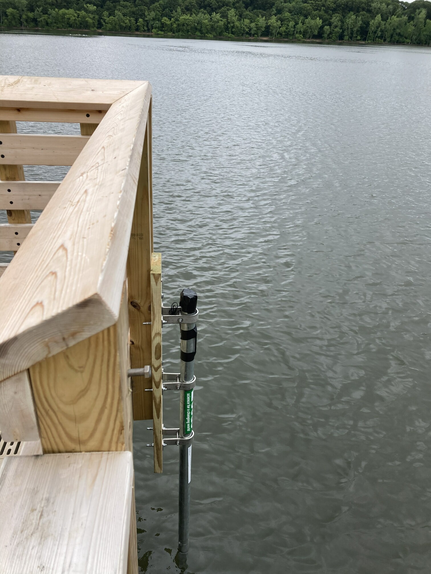 Station image
Summary of all available data for this site
Instantaneous-data availability statement
