PROVISIONAL DATA SUBJECT TO REVISION
Click to hidestation-specific text
 Site Information
LOCATION.--Lat 43°15'09.2", long
78°41'52.3" referenced to North American Datum of
1983, Niagara County, NY, Hydrologic Unit 04130001, on left
bank at downstream side of bridge on Jacques Road and
approximately 4.0 mi upstream from Lake Ontario, at
Newfane.
DRAINAGE AREA.--71 mi².
PERIOD OF RECORD.--Low-flow partial record--1989-90, annual maximum only--2004-22. October 2022 to current year.
GAGE.--Water-stage recorder and crest-stage gage. Datum of gage is 332.33 ft above NAVD of 1988. Prior to October 2022, crest-stage gage at same site at datum 30.00 ft lower.
EXTREMES FOR PERIOD OF RECORD.--Maximum discharge, 2,240 ft³/s, Dec. 2, 2006, gage height 11.80 ft, present datum; minimum discharge (beginning October 2022), 1.44 ft³/s, July 26, 27, 2023, gage height, 5.50 ft.
 WaterAlert – get an
email or text (SMS) alert based on your chosen threshold.
WaterAlert – get an
email or text (SMS) alert based on your chosen threshold.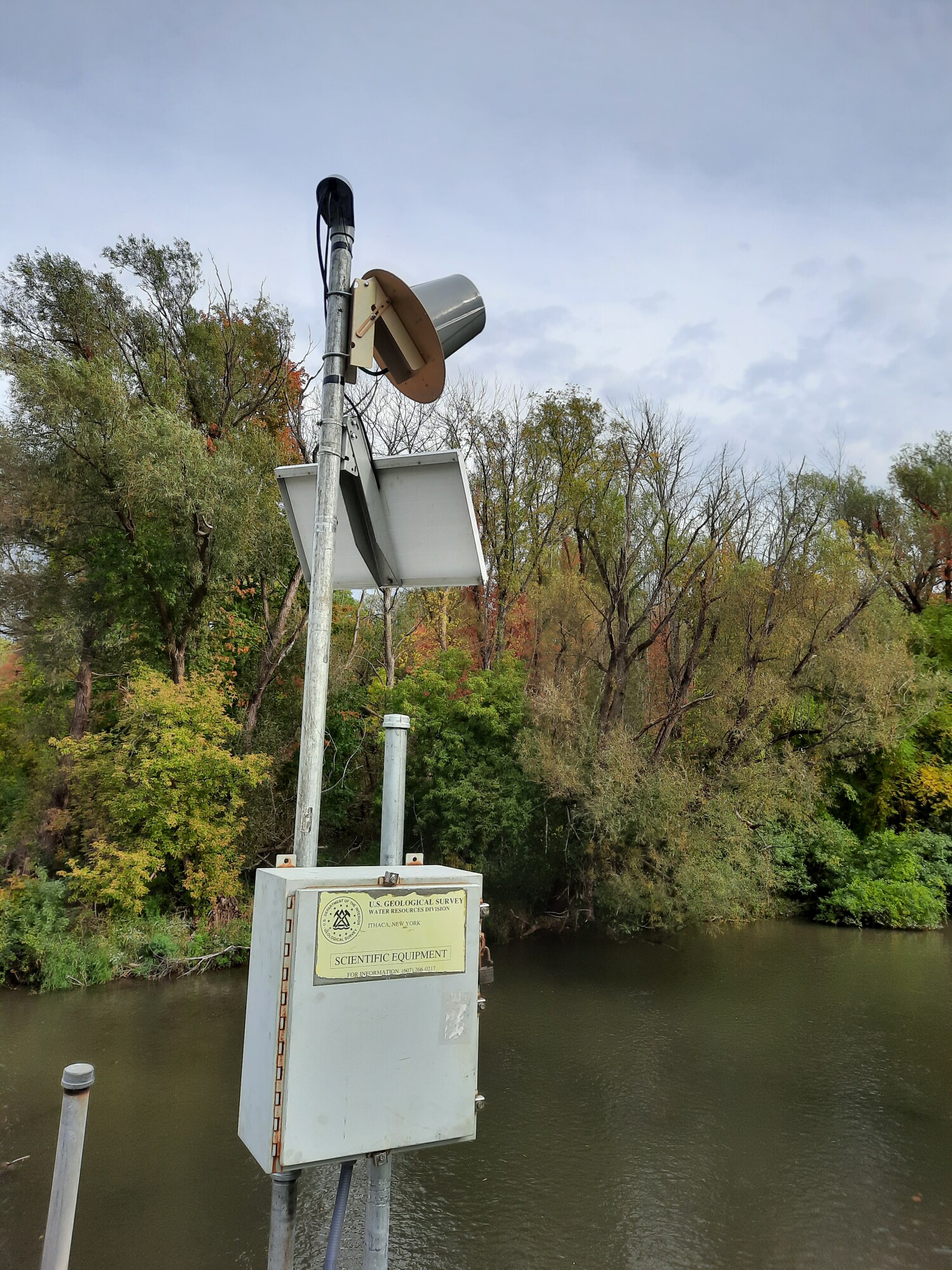 Station image
Summary of all available data for this site
Instantaneous-data availability statement

