USGS 50011000 CANAL DE DERIVACION AT LAGO DE GUAJATACA, PR

PROVISIONAL DATA SUBJECT TO REVISION

Click to hidestation-specific text
Click to go to the Autoridad de Energia Electrica de Puerto Rico web page

Image of Canal Principal de Derivacion at Lago Guajataca
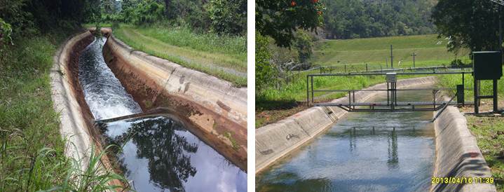
Photos by USGS, Caribbean-Florida Water Science Center Hydrologic Technicians - San Juan.
This station managed by the Caribbean-Florida WSC - San Juan.

Available Parameters Available Period
  
2016-10-01  2024-05-02
2006-03-16  2010-09-30
2007-10-01  2024-05-02


 (7)
 

  -- or --


Summary of all available data for this site
Instantaneous-data availability statement


Discharge, cubic feet per second

Most recent instantaneous value: 54.6 05-02-2024   02:45 AST
Graph of  Discharge, cubic feet per second

Add up to 2 more sites and replot for "Discharge, cubic feet per second"

?


Create presentation-quality / stand-alone graph.   Subscribe to WaterAlert      

See this graph on the Monitoring Location Pages


Daily discharge, cubic feet per second -- statistics for May 2 based on 7 water years of record more
Min
(2019)
25th
percen-
tile
Most Recent
Instantaneous
Value May 2
Mean Median 75th
percen-
tile
Max
(2018)
23.4 51 54.6 55 56 68 71.5

Discharge, cubic feet per second, [Historic IDA]
 
-- Data temporarily unavailable for the time period specified --


Gage height, feet

Most recent instantaneous value: 3.32 05-02-2024   02:45 AST
Graph of  Gage height, feet

Add up to 2 more sites and replot for "Gage height, feet"

?


Create presentation-quality / stand-alone graph.   Subscribe to WaterAlert      

See this graph on the Monitoring Location Pages