PROVISIONAL DATA SUBJECT TO REVISION
Click to hidestation-specific text
 |
|
|
|
|
|
Station Drainage Area
|
|
|
|
|
|
Gate opening, height Disclaimer
Gate opening, height monitoring sites operated by the USGS in Puerto Rico are strictly for operational purposes. Gate opening, height data, if available, are temporary and will only be displayed for 120 days. Gate opening, height data will NOT be available for retrieval following the 120-day display period. The temporary classification means that documented routine inspections and other quality assurance measures are not performed that would make the data acceptable for archival, retrieval, or future use in general scientific or interpretive studies. |
|
|
|
|
![[JPEG, 5,723 KB]](https://pr.water.usgs.gov/data/gis/drainage/DA_50059000_lttr.jpg)
 |
|
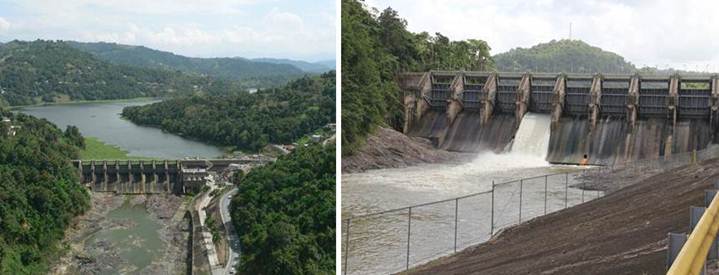
| Photos by USGS, Caribbean-Florida Water Science Center Hydrologic Technicians - San Juan. | |
Summary of all available data for this site
Instantaneous-data availability statement