PROVISIONAL DATA SUBJECT TO REVISION
Click to hidestation-specific text
|
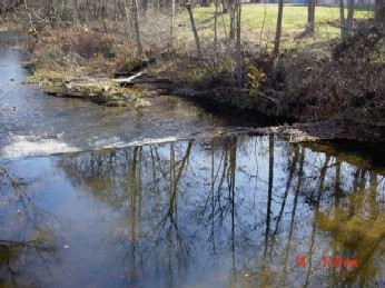 |
LOCATION.--Lat 39°30'10.8", long 76°53'03.8", Carroll County, MD, Hydrologic Unit 02060003, on left
   bank at downstream side of private footbridge at Cedarhurst, 0.8 mi downstream from Roaring Run,
   8 mi southeast of Westminster, and 16.5 mi upstream from confluence with South Branch.
DRAINAGE AREA.--56.6 mi2.
PERIOD OF RECORD.--September 1945 to current year.
REVISIONS HISTORY.--WSP 1903: 1959-60.
GAGE.--Water-stage recorder, crest-stage gage, and concrete control. Datum of gage is 420.01 ft above North
   American Vertical Datum of 1988.
REMARKS.--Slight diurnal fluctuation at low and medium flow caused by mill upstream from station. Low flow
   affected slightly by Cranberry Reservoir since August 1957, capacity, 113,700,000 gal. U.S. Geological
   Survey satellite data-collection platform at station. Water-quality records for some prior periods have
   been collected at this location.
EXTREMES FOR PERIOD OF RECORD.--Maximum discharge, 27,800 ft3/s, June 22, 1972, gage height, 20.75 ft;
   minimum discharge, 0.10 ft3/s, September 22, 2016, as a result of pumpage upstream.
COOPERATION.--Funding for the operation of this station is provided by the Maryland Department of
   Transportation, and the U.S. Geological Survey.
| Boating safety tips |
Summary of all available data for this site
Instantaneous-data availability statement

