PROVISIONAL DATA SUBJECT TO REVISION
LOCATION.--Lat 45°45'49", long 88°27'47", in NW 1/4 NW 1/4 sec.23, T.38 N., R.16 E., Florence County, Hydrologic Unit 04030108, on left bank 170 ft upstream from Bridge on U.S. Forest Service Road 2159, 1.8 mi downstream from Mud Creek and 2.6 mi northwest of Fence and 11.5 mi. upstream from mouth.
DRAINAGE AREA.--139 square miles.
PERIOD OF RECORD.--October 1963 to current year.
REVISED RECORDS.--WDR WI-76-1: 1972(M). WDR WI-80-1: Drainage area. WDR WI-81-1: 1965(M).
GAGE.--Water-stage recorder. Datum of gage is 1,406.41 ft NGVD88. Prior to June 18, 1964, nonrecording gage at same site and datum.
REMARKS.--Gage-height telemeter at station.
Operated with funding from the U.S. Geological Survey Federal Priority Streamgages Program
Additional Information:
 National Weather Service Flood Forecast Page
This is a Wisconsin Wild River
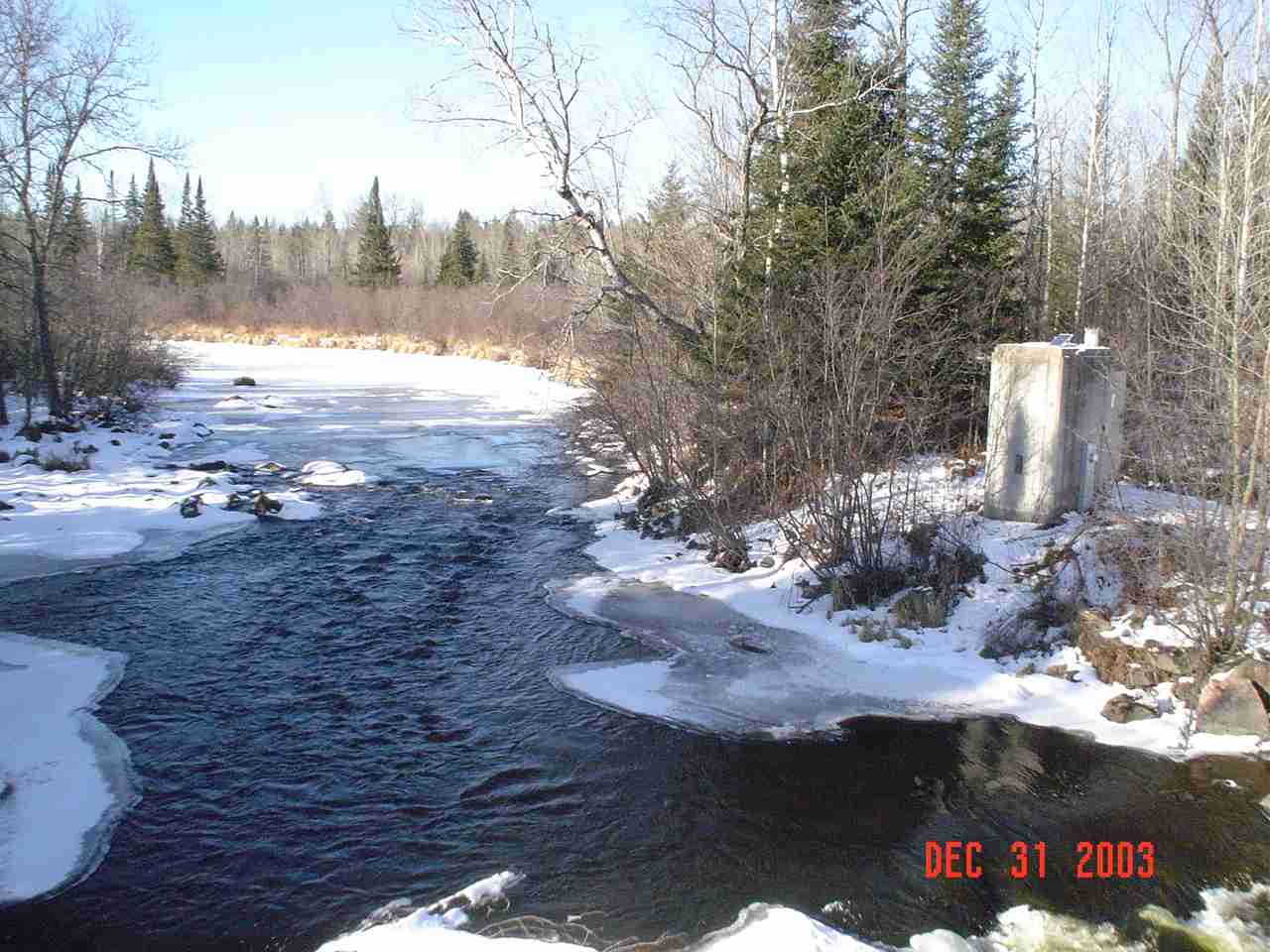
Photo of river at the gage location:
| Boating safety tips |
Summary of all available data for this site
Instantaneous-data availability statement


