PROVISIONAL DATA SUBJECT TO REVISION
Click to hidestation-specific text
Funding for this site is provided by:
 Site Information
LOCATION.--Lat 43°18'02.6", long
75°37'22.4" referenced to North American Datum of
1983, Oneida County, NY, Hydrologic Unit 04140202, on right
bank 700 ft downstream from bridge on State Highway 69 in
Taberg, and 2.6 mi upstream from confluence of East and West
Branches of Fish Creek.
DRAINAGE AREA.--188 mi².
PERIOD OF RECORD.--April 1923 to March 1995, October 2008 to current year.
REVISIONS HISTORY.--WSP 604: 1924. WSP 759: Drainage area. WSP 1034: 1944. WSP 1054: 1923-45. WDR NY-83-3: 1980(M). WDR-US-2010: 2009(M). Discharge for the period Oct. 31, 2019, to Nov. 1, 2019, was revised on Apr. 6, 2022, based on changes to the estimated discharge.
GAGE.--Water-stage recorder and crest-stage gage. Datum of gage is 484.57 ft above NAVD of 1988. At site 0.2 mi upstream, April 1923 to May 19, 1969, at datum 5.97 ft higher, and May 20, 1969 to March 31, 1995, at datum 4.97 ft higher.
REMARKS.--Unknown degree of regulation at low flow by City of Oneida Reservoir (Glenmore Reservoir) since 1926, and by City of Rome Dam (Boyd Dam) since 1959.
Water Years 2014-16, 2023: Records fair except those for estimated daily discharges, which are poor. Water Years 2017-22: Records poor.
EXTREMES FOR PERIOD OF RECORD.--Maximum discharge, 21,600 ft³/s, Dec. 29, 1984, gage height, 13.81 ft, site and datum then in use, from rating curve extended above 14,000 ft³/s on basis of slope-area measurement of peak flow and result of release of upstream debris jam (constructed maximum discharge, about 16,000 ft³/s on same date at earlier time when adjusted for storage effects); minimum discharge, 4.9 ft³/s, Aug. 15, 16, 1949.
 WaterAlert – get an
email or text (SMS) alert based on your chosen threshold.
WaterAlert – get an
email or text (SMS) alert based on your chosen threshold.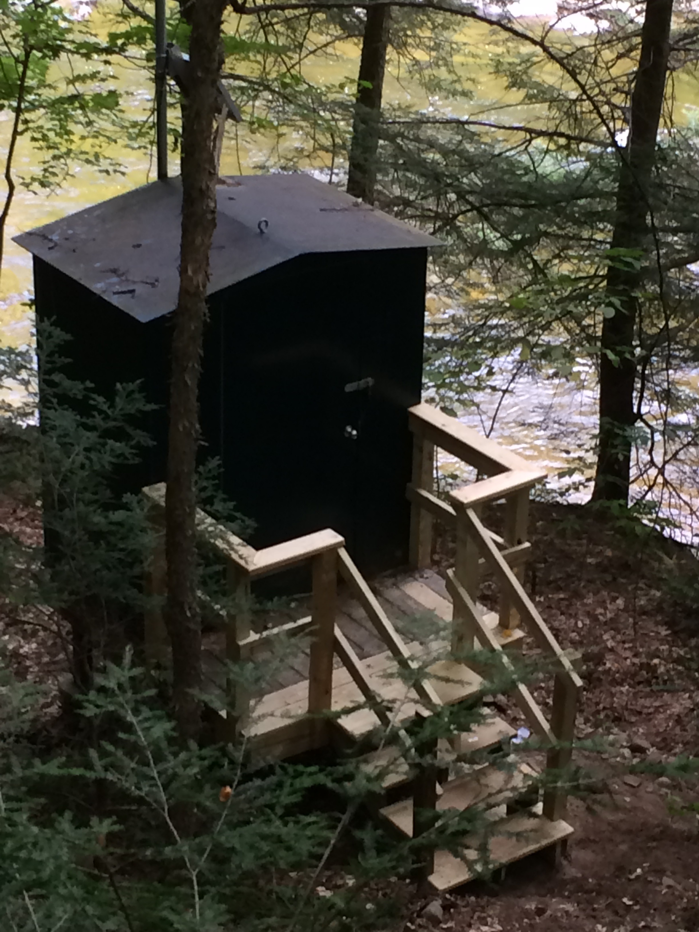 Station image
Summary of all available data for this site
Instantaneous-data availability statement

