PROVISIONAL DATA SUBJECT TO REVISION
Click to hidestation-specific text
Station operated in cooperation with the
Maine Emergency Management Agency and the Maine River Flow Advisory
Commission.

Period of Record - Gage Height: June 1998 to current year. Prior to October 2008, published as "at Father Curran Bridge."
The National Weather Service flood stage for this site is 12.0 ft. (Forecast)

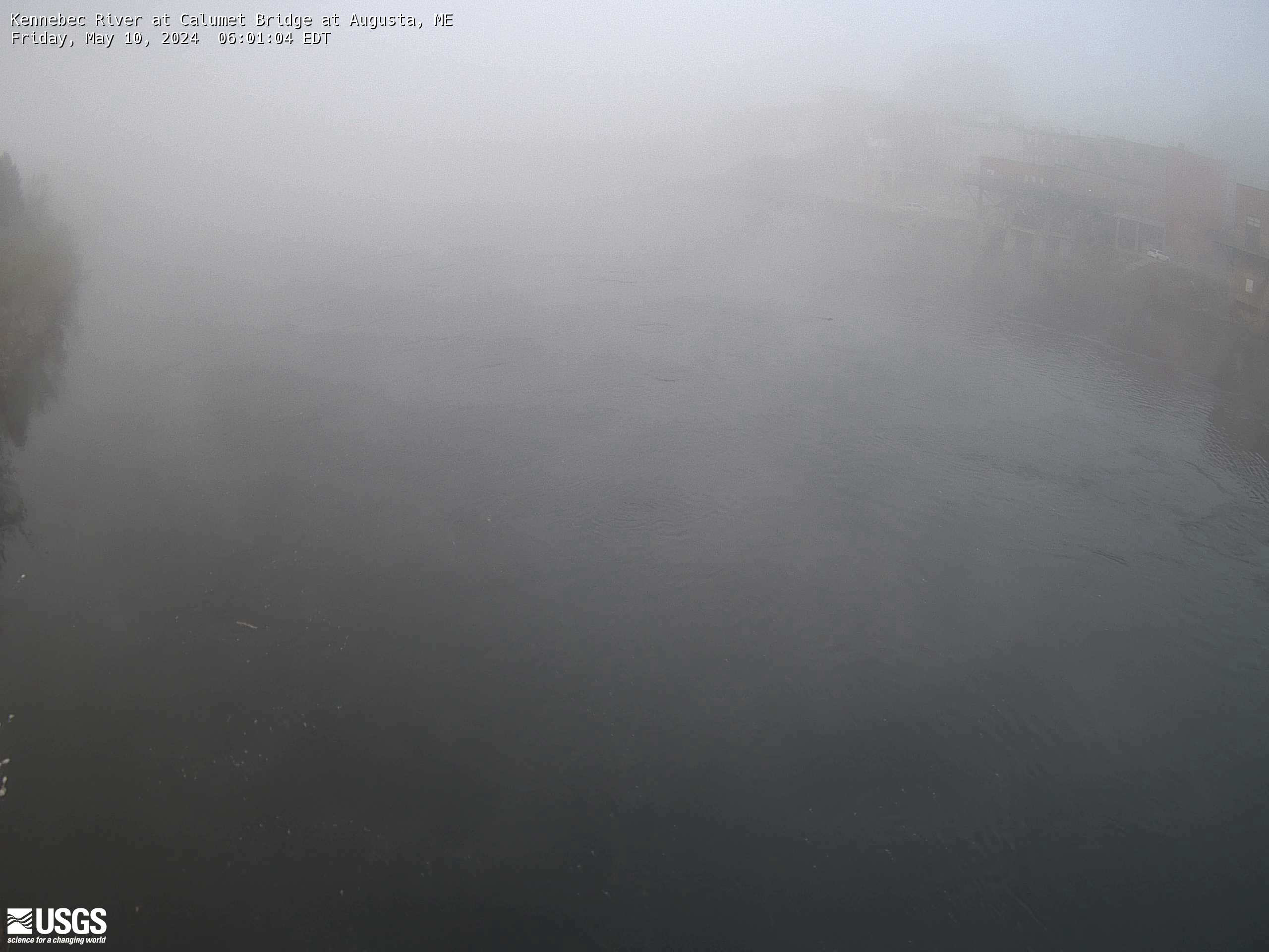
Press the 'Reload' or 'Refresh' button on your browser to view the most recent image.
(NOTE: Image time stamp should be within 20 minutes of the current time.)
Image Archive - Directory listing of images from the past 11 days.
Summary of all available data for this site
Instantaneous-data availability statement
