PROVISIONAL DATA SUBJECT TO REVISION
Click to hidestation-specific text
Funding for this site is provided by:
 Site Information
LOCATION.--Lat 43°21'12.5", long
74°16'06.5" referenced to North American Datum of
1983, Hamilton County, NY, Hydrologic Unit 02020002, on left
bank 1.5 mi downstream from West Branch Sacandaga River, on
State Highway 30, and 4.5 mi upstream from Hope.
DRAINAGE AREA.--491 mi².
PERIOD OF RECORD.--September 1911 to current year.
REVISIONS HISTORY.--WSP 711: Drainage area. Discharge in the hours before and after the peak on Nov. 1, 2019, was revised with estimates on Apr. 28, 2021, based on the measured peak discharge.
GAGE.--Water-stage recorder and crest-stage gage. Datum of gage is 881.31 ft above NGVD of 1929 and 880.74 ft above NAVD of 1988. Prior to July 24, 1929, nonrecording gage at site 300 ft upstream at same datum.
REMARKS.--Some seasonal regulation on West Branch Sacandaga River at Piseco Lake Outlet, about 17 mi upstream, and, since 1959, diurnal fluctuation caused by powerplant 4 mi upstream from station at Lake Algonquin. Minor fluctuations caused by mill upstream.
Water Years 2014-24: Records good except those for estimated daily discharges, which are poor.
EXTREMES FOR PERIOD OF RECORD.--Maximum discharge, 41,400 ft³/s, Nov. 1, 2019, gage height, 12.94 ft, from floodmarks; maximum gage height, 13.32 ft, Mar. 1, 1955 (ice jam); minimum discharge, about 16 ft³/s, Sept. 30, 1913, gage height, 1.17 ft; minimum gage height, 1.03 ft, Sept. 1, 1999.
 WaterAlert – get an
email or text (SMS) alert based on your chosen threshold.
WaterAlert – get an
email or text (SMS) alert based on your chosen threshold.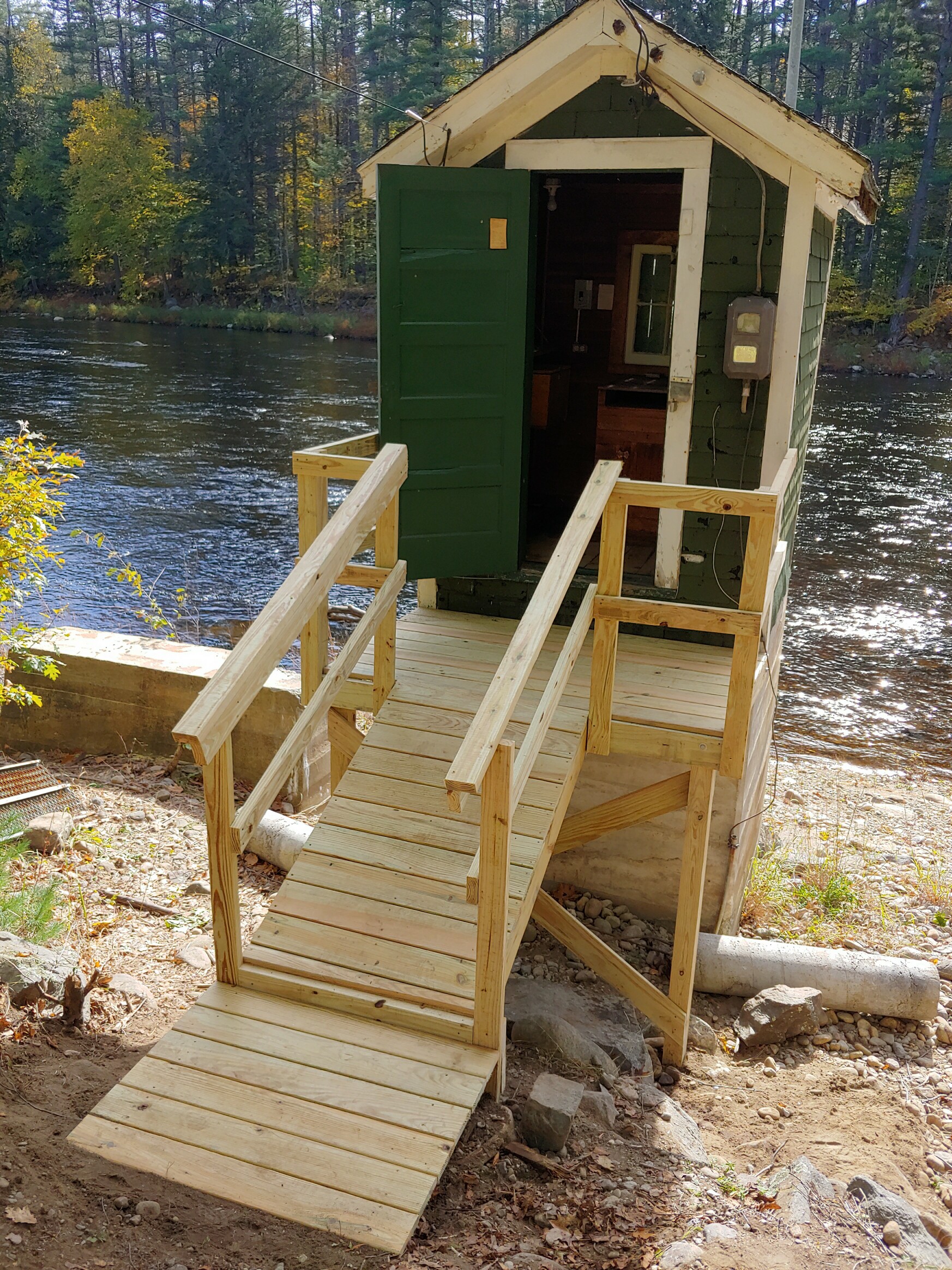 Station image
Summary of all available data for this site
Instantaneous-data availability statement

