PROVISIONAL DATA SUBJECT TO REVISION
Click to hidestation-specific text
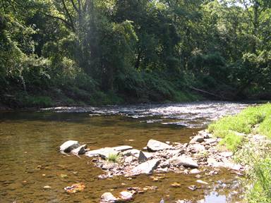
LOCATION.--Lat 39°40'03.3", long 75°49'32.1", Cecil County, MD, Hydrologic Unit 02060002, on left bank,
   just downstream from highway bridge on Brewster Bridge Road, 0.8 mi north of Elk Mills,
   4.3 mi north of Elkton, and 8.1 mi upstream from confluence with Little Elk Creek.
DRAINAGE AREA.--51.6 mi2, from automated delineation using 30-meter National Elevation
   Dataset, digital elevation model data, dated 2011.
PERIOD OF RECORD.--April 1932 to current year. Monthly discharge only for some periods, published in WSP 1302.
REVISIONS HISTORY.--WSP 1432: 1932-33, 1934(M), 1935, 1936(M), 1938, 1919-40(M), 1942(M), 1943-51, 1952-53(P).
GAGE.--Water-stage recorder and crest-stage gage. Datum of gage is 83.39 ft above North American Vertical Datum
   of 1988. Prior to Oct. 1, 2013, gage located 1.1 mi downstream at datum 15.76 ft lower. Prior to May 17, 1946,
   nonrecording gage 100 ft upstream of site then in use at same datum.
REMARKS.--U.S. Geological Survey satellite data-collection platform at station.
EXTREMES FOR PERIOD OF RECORD.--Maximum discharge, 10,600 ft3/s, July 5, 1937, maximum gage height, 14.54 ft,
   Sept. 16, 1999, at site and gage datum then in use; minimum discharge, 2.2 ft3/s, Aug. 21, 2002.
EXTREMES OUTSIDE PERIOD OF RECORD.--Flood of June 1884 reached a stage of about 19 ft, at previous site and
   gage datum, from information by local residents; discharge, about 18,000 ft3/s.
COOPERATION.--Funding for the operation of this station is provided by the Maryland Department of Natural
   Resources, and the U.S. Geological Survey.
| Boating safety tips |
Summary of all available data for this site
Instantaneous-data availability statement


