PROVISIONAL DATA SUBJECT TO REVISION
Click to hidestation-specific text
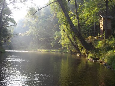
LOCATION.--Lat 39°37'47.9", long 76°24'11.9", Harford County, MD, Hydrologic Unit 02050306, on right
   bank 0.3 mi upstream from bridge on Cherry Hill Road, 0.8 mi southeast of Rocks, 1.2 mi upstream from
   Stirrup Run, and 23.5 mi upstream from mouth.
DRAINAGE AREA.--94.4 mi2.
PERIOD OF RECORD.--October 1926 to current year. Monthly discharge only for November and December 1926,
   published in WSP 1302.
REVISIONS HISTORY.--WSP 726: Drainage area. WSP 1502: 1927-36 (maximum and minimum only 1927-29,
   maximum only 1930-32, 1936).
GAGE.--Water-stage recorder and crest-stage gage. Concrete control since Sept. 7, 1938. Datum of gage is
   249.60 ft above North American Vertical Datum of 1988.
REMARKS.--Prior to 1965, some regulation at low flow by mills upstream from station. U.S. Geological Survey
   satellite data-collection platform at station. Water-quality records for some prior periods have been
   collected at this location.
EXTREMES FOR PERIOD OF RECORD.--Maximum discharge, 13,600 ft³/s, Aug. 23, 1933, gage height, 17.70 ft;
   minimum discharge, 3.5 ft³/s, Aug. 22, 2002.
EXTREMES OUTSIDE PERIOD OF RECORD.--Maximum stage since at least 1888, that of Aug. 23, 1933.
COOPERATION.--Funding for the operation of this station is provided by the Maryland Department of
   Transportation, and the U.S. Geological Survey.
| Boating safety tips |
Summary of all available data for this site
Instantaneous-data availability statement


