PROVISIONAL DATA SUBJECT TO REVISION
Click to hidestation-specific text
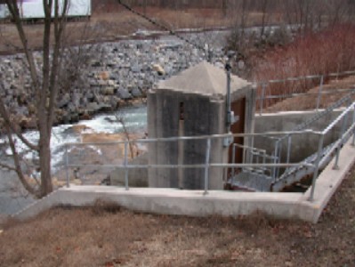
LOCATION.--Lat 39°29'38.1", long 79°02'40.9", Allegany County, MD, Hydrologic Unit 02070002,
   on right bank at Franklin, and 1.2 mi upstream from Westernport and mouth.
DRAINAGE AREA.--72.4 mi2.
PERIOD OF RECORD.--May 1905 to July 1906 (published as "at Westernport"), October 1929 to current year.
REVISED RECORDS.--WSP 726: Drainage area. WSP 1502: 1940. WDR MD-DE-86-1: 1984(M).
GAGE.--Water-stage recorder and crest-stage gage. Datum of gage is 958.18 ft above North American Vertical Datum of 1988.
   May 4, 1905, to July 15, 1906, nonrecording gage at bridge 0.8 mi downstream at different gage datum.
   Oct. 16, 1929 to Oct. 1, 1937, water-stage recorder at site 95 ft downstream at present gage datum.
REMARKS.--Records include about 0.5 ft3/s of sewage from city of Frostburg, which obtains
   its water supply from Big Piney Run (Monongahela River basin) and Savage River. A negligible discharge is
   diverted upstream from station by Frostburg Water Co. for municipal supplies of Eckhart and Welsh Hill.
   Diversion of groundwater occurs in upper third of basin by the Hoffman Drainage Tunnel
   and flows into the Wills Creek basin. U.S. Geological Survey satellite data-collection platform at station.
EXTREMES FOR PERIOD OF RECORD.--Maximum discharge, 8,500 ft3/s, Mar. 17, 1936, gage height,
   9.60 ft, at site then in use; minimum discharge, 1.6 ft3/s,  Sept. 29 to Oct. 13, 1930.
EXTREMES OUTSIDE PERIOD OF RECORD.--Flood of Mar. 29, 1924, reached a stage of about 10 ft, from floodmarks,
   at site 95 ft downstream.
COOPERATION.--Funding for the operation of this station is provided by the Maryland Department of Transportation,
   and the U.S. Geological Survey.
| Boating safety tips |
Summary of all available data for this site
Instantaneous-data availability statement


