PROVISIONAL DATA SUBJECT TO REVISION
Click to hidestation-specific text
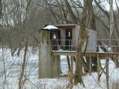
LOCATION.--Lat 39°42'59.0", long 77°49'29.2", Washington County, MD, Hydrologic Unit 02070004,
   on right bank 0.7 mi upstream from highway bridge in Fairview, 2.0 mi upstream from Rockdale Run,
   6.5 mi northwest of Hagerstown, and 19.1 mi upstream from mouth.
DRAINAGE AREA.--494 mi2.
PERIOD OF RECORD.--June 1928 to current year. Monthly discharge only for some periods, published in WSP 1432.
REVISIONS HISTORY.--WSP 756: Drainage area. WSP 1432: 1929(M), 1930, 1931-32(M), 1935(M).
GAGE.--Water-stage recorder and crest-stage gage. Datum of gage is 391.19 ft above North American Vertical
   Datum of 1988. Prior to Dec. 6, 1932, nonrecording gage at highway bridge 0.7 mi downstream at gage datum
   2.93 ft lower. Dec. 6, 1932, to Oct. 7, 1933, nonrecording gage 150 ft downstream from former site at
   gage datum 4.92 ft lower than present gage datum.
REMARKS.--Diversions for irrigation upstream from station. U.S. Geological Survey satellite data-collection
   platform at station.
EXTREMES FOR PERIOD OF RECORD.--Maximum discharge, 32,400 ft3/s, June 23, 1972,
   gage height, 24.50 ft; minimum discharge, 21 ft3/s, Aug. 8, Sept. 12, 1966.
EXTREMES OUTSIDE PERIOD OF RECORD.--Maximum stage known prior to 1928, about 16.5 ft, present gage datum,
   sometime in 1889, from information by local residents, discharge, about 22,000 ft3/s.
COOPERATION.--Funding for the operation of this station is provided by the U.S. Geological Survey.
| Boating safety tips |
Summary of all available data for this site
Instantaneous-data availability statement


