Warning: Javascript must be enabled to use all the features on this page!

Warning: Javascript must be enabled to use all the features on this page!

Warning: Javascript must be enabled to use all the features on this page!

Warning: Javascript must be enabled to use all the features on this page!

  USGS Water Resources    


News - updated May 22,2013 RSS icon
Warning! May 23, 2013 10:45 EDT: Update: The outage of the GOES-13 East satellite that occurred on May 22, 2013 which has kept some USGS Water Data current condition data from being updated is only affecting a few sites presently.

Page Loading - Please Wait...


USGS 03075500 YOUGHIOGHENY RIVER NEAR OAKLAND, MD


PROVISIONAL DATA SUBJECT TO REVISION


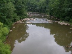
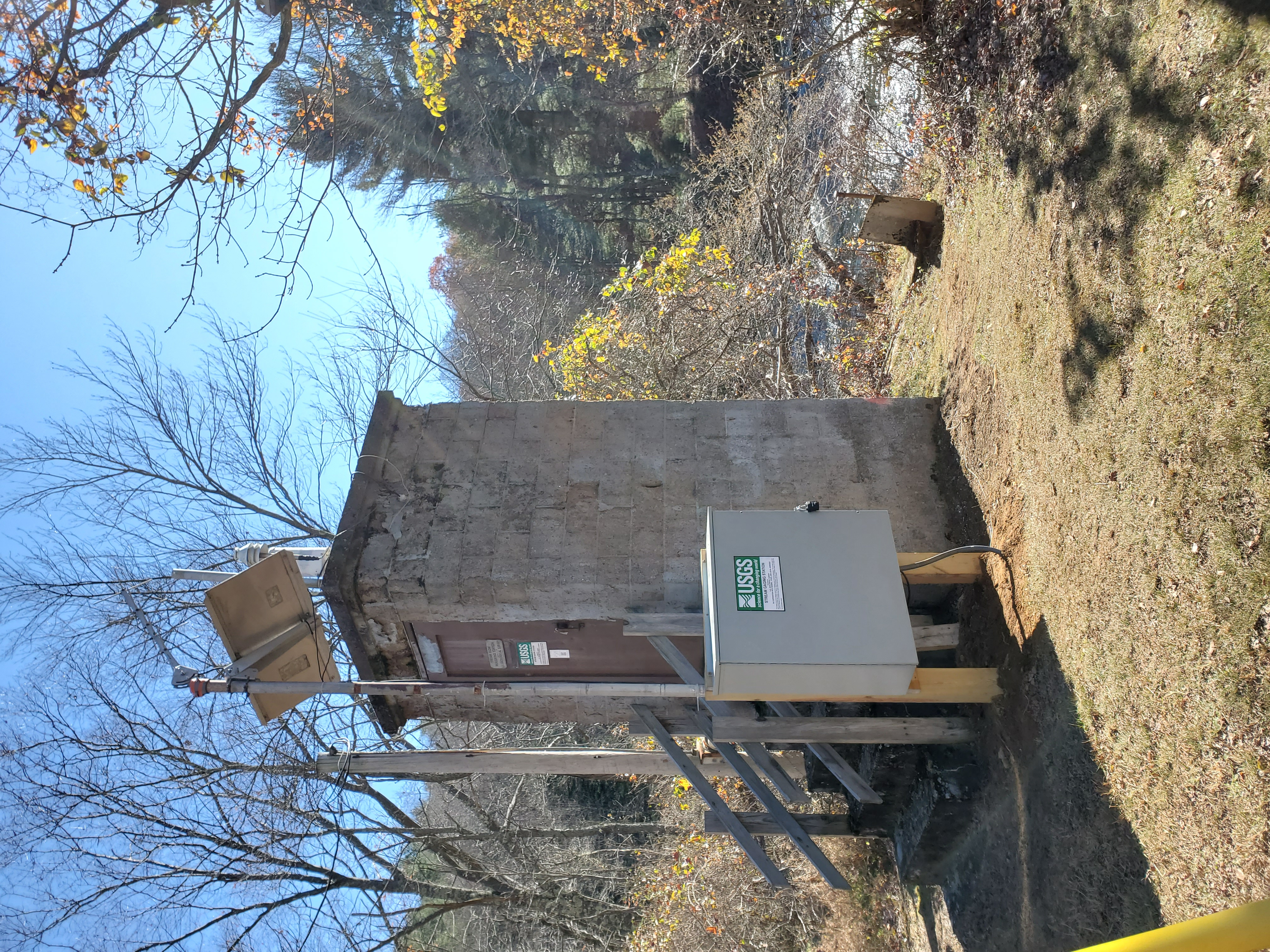
LOCATION.--Lat 39°25'17.7", long 79°25'25.1", Garrett County, Hydrologic Unit 05020006,
   on left bank 200 ft downstream from Baltimore and Ohio Railroad bridge, 250 ft downstream from
   Little Youghiogheny River, 1.2 mi northwest of Oakland, and  1.5 mi upstream from Dunkard Lick Run.
DRAINAGE AREA.--134 mi2.
PERIOD OF RECORD.--August 1941 to current year.
GAGE.--Water-stage recorder, crest-stage gage and concrete control. Datum of gage is 2,353.61 ft above National
   Geodetic Vertical Datum of 1929. Prior to Aug. 1, 1946,  nonrecording gage at bridge 200 ft upstream
   at same datum.
REMARKS.--Town of Oakland diverted an average of 0.4 ft3/s for water supply. The diversion is 
   returned upstream from station as sewage. U.S. Army Corps of Engineers satellite data-collection platform
   at station.
EXTREMES FOR PERIOD OF RECORD.--Maximum discharge, 14,100 ft3/s,
   Jan. 19, 1996, gage height, 13.06 ft; minimum discharge, 2.5 ft3/s, Oct. 4, 1953.
EXTREMES OUTSIDE PERIOD OF RECORD.--Flood in March 1936 reached a stage  of 15.3 ft, from floodmarks.
COOPERATION.--Funding for the operation of this station is provided by the Maryland Department
   of the Environment, the U.S. Army Corps of Engineers, and the U.S. Geological Survey.
The 15-minute precipitation data for this station are temporary and will only be displayed for 120 days. Time series of cumulative daily values will NOT be available for retrieval following the 120-day display period. Although the instrumentation is calibrated at least once/year, the temporary classification means that documented routine inspections and other quality assurance measures are not performed that would make the data acceptable for archival, retrieval, or future use in general scientific or interpretive studies.
Boating safety tips
This station managed by the MD-DE-DC Water Science Center, Frostburg office.


Available Parameters Available Period
All 3 Available Parameters for this site
  
00060 Discharge 2007-10-01  2013-05-25
00065 Gage height 2013-01-25  2013-05-25
00045 Precipitation 2013-01-25  2013-05-25

Graph
Graph w/ stats
Graph w/o stats
Graph w/ (up to 3) parmsNew
Table
Tab-separated
Days  (7)
 

  -- or --
Begin date
 

End date


Summary of all available data for this site
  Instantaneous-data availability statement

Discharge, cubic feet per second
Most recent instantaneous value: 175   05-25-2013  20:15 EST
Graph of  Discharge, cubic feet per second    
Create presentation-quality / stand-alone graph.   Subscribe to WaterAlert Introduction page WaterAlert      


Daily discharge, cubic feet per second -- statistics for May 25 based on 71 years of record more
Min
(1991)
25th
percen-
tile
Median Most Recent
Instantaneous
Value May 25
75th
percen-
tile
Mean Max
(1968)
45 115 173 175 268 278 2890

Gage height, feet
Most recent instantaneous value: 2.57   05-25-2013  20:15 EST
Graph of  Gage height, feet    
Create presentation-quality / stand-alone graph.   Subscribe to WaterAlert Introduction page WaterAlert      


Precipitation, total, inches
Most recent instantaneous value: 0.00   05-25-2013  20:15 EST
Graph of  Precipitation, total, inches    
Create presentation-quality / stand-alone graph.   Subscribe to WaterAlert Introduction page WaterAlert      


Questions about sites/data? Data Tips
Feedback on this web site Explanation of terms
Automated retrievals Subscribe for system changes
Help News

Accessibility Plug-Ins FOIA Privacy Policies and Notices

Take Pride in America logo USA.gov logo U.S. Department of the Interior | U.S. Geological Survey
Title: USGS Current Conditions for the Nation
URL: http://waterdata.usgs.gov/nwis/uv?

Page Contact Information: Maryland Water Data Support Team
Page Last Modified: 2013-05-25 22:00:44 EDT
1.04   0.91 caww02