PROVISIONAL DATA SUBJECT TO REVISION
Click to hidestation-specific text
The 15-minute precipitation data for this
station are temporary and will only be displayed for 120 days.
Although the instrumentation is calibrated at least once/year, the
temporary classification means that documented routine inspections and
other quality assurance measures are not performed that would make the
data acceptable for archival, retrieval, or future use in general
scientific or interpretive studies.
 Site Information
Funding for this site is provided by:
Site Information
LOCATION.--Lat 42°57'26", long
77°35'20" referenced to North American Datum of 1983,
Monroe County, NY, Hydrologic Unit 04130003, on right bank 25
ft downstream from bridge on State Highway 65 at Honeoye Falls,
and 15.3 mi upstream from mouth.
DRAINAGE AREA.--196 mi².
PERIOD OF RECORD.--October 1945 to September 1970, October 1972 to current year.
REVISIONS HISTORY.--WDR NY-82-3: Drainage area. Datum of gage, prior to October 1970, was corrected on November 7, 2017.
GAGE.--Water-stage recorder and crest-stage gage. Datum of gage is 608.00 ft above NGVD of 1929 and 607.49 ft above NAVD of 1988. Prior to October 1970, at same site at datum 609.75 ft above NGVD of 1929 (609.98 ft, levels by U.S. Army Corps of Engineers). Prior to Apr. 1, 2019, at datum 2.00 ft higher.
COOPERATION.--Water-quality samples were collected by the Monroe County Department of Environmental Services and analyzed by the Monroe County Environmental Laboratory at Rochester, NY. Prior to 2003, water-quality samples were collected by the Monroe County Environmental Health Laboratory at Rochester, NY.
REMARKS.--Outlet of Honeoye Lake not controlled. Some diversion from and regulation of Hemlock and Canadice Lakes for water supply of City of Rochester. Prior to 1967 water year, published monthly figures adjusted for change in contents in, and diversion from, Hemlock and Canadice Lakes. Prior to about 1960, diurnal fluctuation at low flow caused by mills upstream from station.
Water Years 2014-24: Records fair except those for estimated daily discharges, which are poor.
EXTREMES FOR PERIOD OF RECORD.--Maximum discharge, 4,800 ft³/s, May 16, 2014, gage height, 7.63 ft, present datum; maximum gage height, 8.17 ft, Mar. 28, 1950, present datum; no flow, Aug. 12, 15, 2001.
EXTREMES OUTSIDE PERIOD OF RECORD.--Flood of June 23, 1972, reached a stage of about 8.3 ft, present datum, discharge, about 6,600 ft³/s, from rating curve extended above 3,300 ft³/s.
 WaterAlert – get an
email or text (SMS) alert based on your chosen threshold.
WaterAlert – get an
email or text (SMS) alert based on your chosen threshold.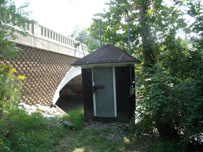 Station image
Summary of all available data for this site
Instantaneous-data availability statement


