PROVISIONAL DATA SUBJECT TO REVISION
Click to hidestation-specific text
| Funding for this site is provided by | ||
 |
 |
 |
| Omaha District |
Lower Platte River Corridor Alliance |
National Streamflow Information Program |
 WaterNow – get the latest
gage data from your mobile phone or email.
WaterNow – get the latest
gage data from your mobile phone or email.

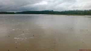
Downstream view near USGS gaging station: Platte River at Louisville, Nebr.
 |
Platte
River Basin (Salt Creek-mouth) |
 |
Summary of all available data for this site
Instantaneous-data availability statement


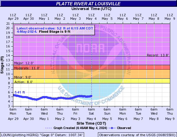
![Graph of Gage height, feet, [Primary Stage Sensor]](https://natwebcaww02.wr.usgs.gov/nwisweb/data/img/USGS.06805500.94898.00065..20260805.20260812..0..gif)


