PROVISIONAL DATA SUBJECT TO REVISION
Click to hidestation-specific text
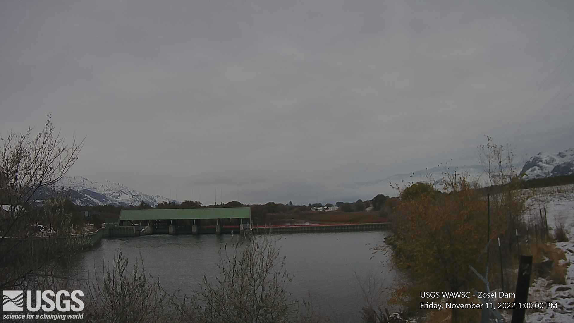
View looking upstream to Zosel Dam impounding the Okanogan
River. The control structure including four gates is visible on the
left side of Zosel Dam. The overflow weir is visible on the right side
of Zosel Dam.
Click on the image below to view other camera information.

Click on the image below to view other camera information.
 |
Any use of trade, firm, or product names is for descriptive purposes only and does not imply endorsement by the U.S. Government.
Map of site
Station operated in cooperation with the International Joint Commission (IJC)
Lake level is managed under IJC Orders of Approval
Graphs of actual and allowable lake levels per IJC Orders of Approval
Subscribe to receive notice when lake levels are outside a user-specified range
Summary of all available data for this site
Instantaneous-data availability statement

![Graph of Lake or reservoir water surface elevation above NGVD 1929, feet, [(2)]](https://natwebsdww01.cr.usgs.gov/nwisweb/data/img/USGS.12439000.151678.62614..20260708.20260715..0..gif)
