Warning: Javascript must be enabled to use all the features on this page!


Page Loading - Please Wait...

* We've detected you're using a mobile device. Find our Next Generation Station Page here.
Click to hideNews Bulletins

USGS 05428500 YAHARA RIVER AT EAST MAIN STREET AT MADISON, WI

PROVISIONAL DATA SUBJECT TO REVISION

Click to hidestation-specific text

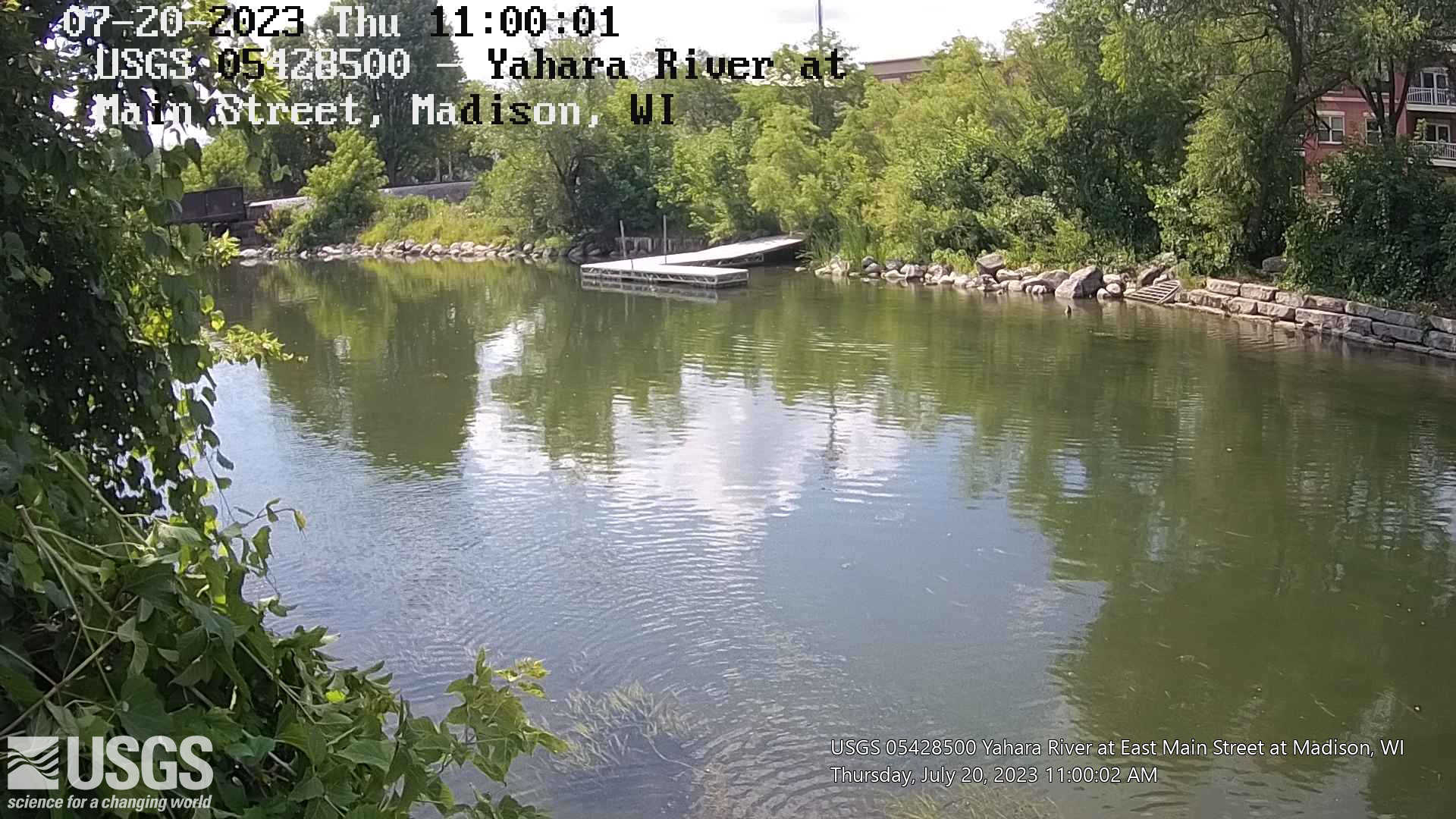
LOCATION.-- Lat 43°05'22", long 89°21'39", in sec.7, T.7 N., R.10 E., Dane County, Hydrologic Unit 07090001, at Main Street bridge in Madison.

DRAINAGE AREA.-- 235 square miles, 36.6 is non-contributing.

PERIOD OF RECORD.-- November 2003 to current year.

GAGE.-- Pressure transducer, acoustic velocity meter and phone line with modem. Datum of gage is 839.95 ft. above NAVD of 1988.

OPERATED IN COOPERATION WITH:

Dane
County LogoDane County Dane County
Water Resources Logo

Additional Info: INFOS

Boating safety tips

Click on animated image to see the latest medium size current video and the static image to view newest full size image. Click on these links for:full size current video; Frame Gallery; all video products for the site.

Time-lapse video products are considered a proof of concept with no guarantee regarding product up time. Time-lapse videos can be viewed using Chrome, Firefox or Opera browser application on smartphone, tablet, desktop and laptop devices. Additional browser support for Safari and Internet Explorer may be added later.

Any use of trade, firm, or product names is for descriptive purposes only and does not imply endorsement by the U.S. Government.

This station managed by the Wisconsin Water Science Center - Madison WI.

Available Parameters Period of Record
  
2003-11-08  2024-04-18
2003-11-08  2010-09-30


 (365)
 

  -- or --


Summary of all available data for this site
Instantaneous-data availability statement


Discharge, cubic feet per second


Graph of DAILY Discharge, cubic feet per second

Add up to 2 more sites and replot for "Discharge, cubic feet per second"

?


Create presentation-quality graph.